Enable Location

We need your location to show you interesting places around you

Discover nearby places

Find interesting locations and hidden gems around you

Precise directions

Get accurate directions and distances to places

Your location is never shared with other users. It's only used when you tap the location button.

São Francisco de Itabapoana

Log in to your account

Start exploring — it's free

Trusted by 62,834 travelers worldwide

Continue with Google
Continue with Apple
or

We will send you a code to connect

By continuing, you accept our Terms and Conditions and our Privacy Policy

Check your inbox

We've sent a pincode in your inbox. Please enter the code below.

São Francisco de Itabapoana

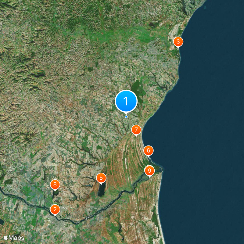
São Francisco de Itabapoana, human settlement in Brazil

São Francisco de Itabapoana is a municipality in Rio de Janeiro state located in the northeastern region. The area has a rural character defined by farmland and green landscapes where agriculture forms the backbone of the local economy.

The municipality was founded and named after the Itabapoana river that flows through the region and shaped its development. Over time it grew into an agricultural center through the steady growth of farming activities in the area.

The town shapes daily life through its strong ties to farming and the river that gave the region its name. Local identity centers on these rural roots and how people here work with and depend on the land.

As a rural municipality, it is best reached by car since public transport is limited in the area. Visitors should expect simple accommodations and local restaurants that serve regional food and honest cooking.

The name comes from Tupi, an indigenous language, and literally means 'river of fruits' reflecting the long history of connection between water and local life. This linguistic root shows how deeply the region is tied to its natural surroundings and resources.

The community of curious travelers

AroundUs brings together thousands of curated places, local tips, and hidden gems, enriched daily by 60,000 contributors worldwide.

Start exploring
Location
Elevation above the sea
4 m
Shares border with
Campos dos Goytacazes, Mimoso do Sul, Presidente Kennedy, São João da Barra
GPS coordinates
-21.47000,-41.11889
Latest update
December 20, 2025 14:00
« São Francisco de Itabapoana - human settlement in Brazil » is provided by Around Us (aroundus.com). Images and texts are derived from Wikimedia project under a Creative Commons license. You are allowed to copy, distribute, and modify copies of this page, under the conditions set by the license, as long as this note is clearly visible.

Discover hidden gems everywhere you go!

From secret cafés to breathtaking viewpoints, skip the crowded tourist spots and find places that match your style. Our app makes it easy with voice search, smart filtering, route optimization, and insider tips from travelers worldwide. Download now for the complete mobile experience.

Around Us App Screenshot

A unique approach to discovering new places

Le Figaro

All the places worth exploring

France Info

A tailor-made excursion in just a few clicks

20 Minutes

Around Us
Travel Guide & Maps
Download

Send to your phone

QR Code
1

Open the camera app on your mobile.

2

Point at the QR code with your camera. A notification will appear.

3

Tap the notification to open the link.