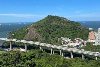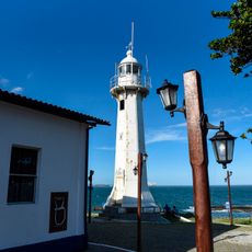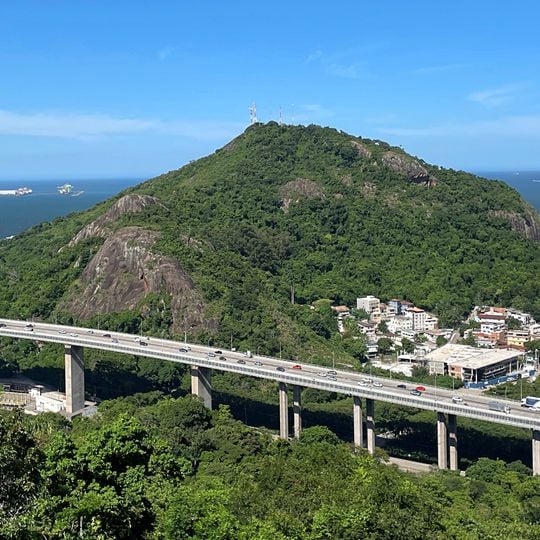
Morro do Moreno, Protected natural hill in Vila Velha, Brazil.
Morro do Moreno is a protected hill in Vila Velha that rises 184 meters above sea level, covered with Atlantic Forest vegetation. Multiple trails traverse the terrain and offer views over the coastline and surrounding landscape.
During Portuguese colonial times, the site was used as a defensive position against English attackers. Historical records show that fire tactics were deployed to repel an invasion attempt.
The name Monte de João Moreno appears on the oldest map of the Espírito Santo region, drawn around 1590 by the Portuguese cartographer Luis Teixeira. It recalls the sesmaria system, by which the Donatário granted land, and its holder's name, to be planted. From the top, residents gather at sunrise, sunset and on New Year's Eve to watch the fireworks along the beaches of Vila Velha.
Cars can only reach the access gate on Rua Xavantes; beyond it, the owner of the summit business and government bodies are the only ones allowed to drive. Visitors continue on foot, either along the main road or by the side entrance that leads onto the Morro do Moreno trail. The road climb is gentle except for the last 50 metres, which are steeper and tiring; the trail demands a minimum of physical fitness.
The hill's name comes from João Moreno, who received the land as a sesmaria; the name Monte de João Moreno appears on Luís Teixeira's map of about 1590. In 1583 the English corsair Thomas Cavendish reported that the hills around Vila Velha were ringed with bonfires at night, which kept him from entering the bar.
The community of curious travelers
AroundUs brings together thousands of curated places, local tips, and hidden gems, enriched daily by 94,298 contributors worldwide.