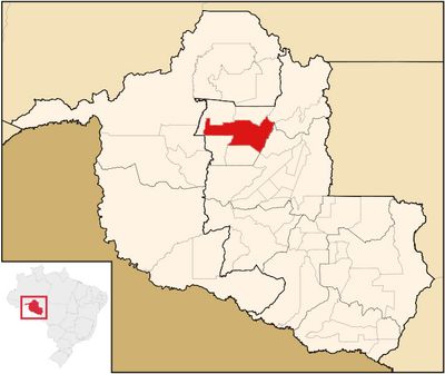
Ariquemes, Administrative division in Rondônia, Brazil.
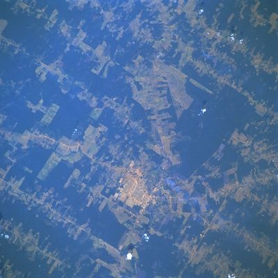
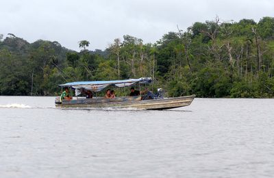
Ariquemes is a city in Rondônia state in northern Brazil. It sits in the middle of agricultural lands and settlements, serving as a hub for the surrounding region.
The city emerged in the 1970s during the settlement of the Amazon region. Farmers and pioneers arrived to develop the land and build new communities.
The city shows how indigenous and migrant communities have lived together for decades. Crafts, music, and food traditions reflect this everyday diversity throughout the region.
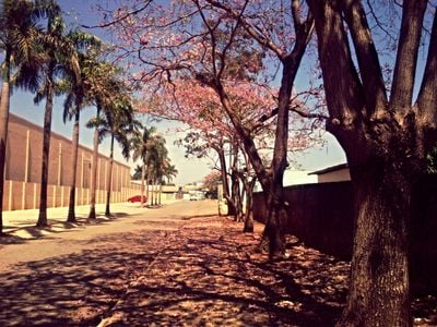
The city has hospitals, schools, and roads connecting to other cities in the region. Visitors will find what they need for a longer stay.
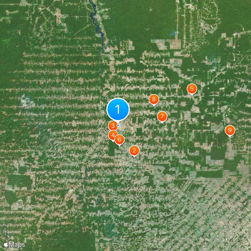
The city sits in an area that quickly transformed from pure jungle to farmland. This rapid shift shaped both the land and how people live and work here.
The community of curious travelers
AroundUs brings together thousands of curated places, local tips, and hidden gems, enriched daily by 60,000 contributors worldwide.