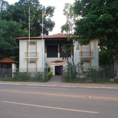
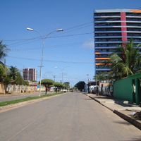
Rondônia, Federative unit in northern Brazil
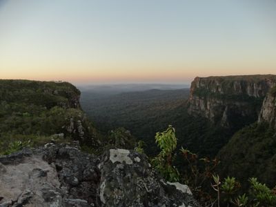
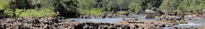
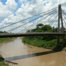
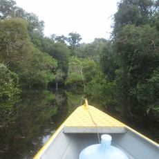
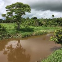
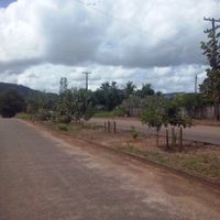
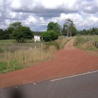
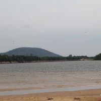
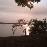
Rondônia is a state in the western Amazon Basin stretching along the border with Bolivia, connecting dense rainforest areas with agricultural plains. The landscape is cut through by several rivers, including the Madeira, which forms a major waterway for the region.
The area was established as Guaporé Territory in 1943 and renamed Rondônia in 1956, before gaining statehood on January 4, 1982. The rubber boom drew settlers and workers during the early decades of the 20th century, changing the way land was used in the region.
The name comes from Marshal Cândido Rondon, an early 20th-century cartographer and defender of indigenous rights. His work shaped the region so deeply that it was named after him, and his legacy remains present in local identity today.
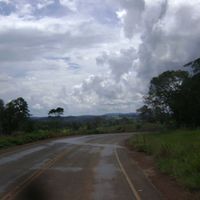
Roads often pass through open country with little shade, so sun protection and plenty of water are recommended during longer drives. Rainy season between November and April can make paths in remote areas temporarily difficult to travel.
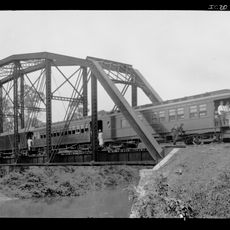
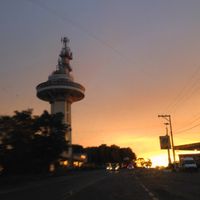
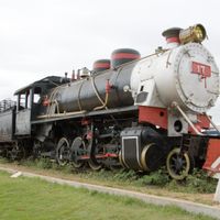
The Madeira-Mamoré Railway, completed in 1907, was built to bypass waterfalls and ease rubber transport, but cost thousands of workers their lives. Today, remnants of the line stand as silent testimony to that era in the dense greenery near Porto Velho.
The community of curious travelers
AroundUs brings together thousands of curated places, local tips, and hidden gems, enriched daily by 60,000 contributors worldwide.