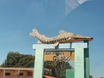
Cabixi, Municipality in Rondônia, Brazil.
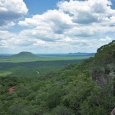
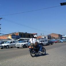
Cabixi spans approximately 1,314 square kilometers in southern Rondônia with a population of 5,188 residents recorded in 2020, making it the southernmost municipality in the state.
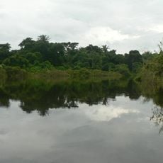
The municipality's name originates from indigenous Cabixi peoples and was used by Spanish bandeirantes in the 17th century to describe the river flowing from Chapada dos Parecis into Rio Guaporé.
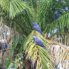
Local festivals and community events celebrate indigenous heritage from the Cozarini group of the Nhambiquara nation, preserving cultural traditions and strengthening community bonds through regional identity.
The municipality operates under local government authorities with official information available through its website at cabixi.ro.gov.br, providing updates on municipal services and administrative procedures.
Cabixi serves as Brazil's southernmost municipality in Rondônia state, positioned at coordinates 13°29′52″S latitude and 60°33′15″W longitude near the Bolivian border.
Location: Região Geográfica Imediata de Vilhena
Address: Cabixi, RO, 76994-000, Brazil 76994-000 Cabixi
GPS coordinates: -13.50525,-60.64516
Latest update: October 13, 2025 08:26
Fort Prince of Beira
427 km
Noel Kempff Mercado National Park
83.6 km
Chiquitania
505.1 km
Jesuit Missions of Chiquitos
367.7 km
Pacaás Novos National Park
399.8 km
Immaculate Conception Cathedral, Concepción
328.2 km
Parque nacional Histórico Santa Cruz La Vieja
486.2 km
Catarata Arco Iris
44.7 km
Marco do Jauru
427.2 km
Serra Ricardo Franco State Park
128.2 km
Cachoeira do Jatobá
168.8 km
Ríos Blanco y Negro Wildlife Reserve
243.5 km
Casarabe culture
440.9 km
Cathedral of St. Louis of France
427.3 km
Bajo Paraguá Municipal Protected Area
157.2 km
San Matías Integrated Management Natural Area
494.8 km
Taiamã Ecological Station
502.6 km
Ibare-Mamoré
494 km
Rio Cautário Federal Extractive Reserve
428.8 km
Aquariquara Extractive Reserve
445.3 km
Association of Machadinho Rubber Tappers
477.5 km
Federico Ahlfeld Falls
45.7 km
Ruins of the Church of the Holy Trinity
183.1 km
Rio Cautário State Extractive Reserve
427.8 km
Isla Cumprida
188.5 km
Municipio Montero
509.6 km
Misión de San José
483.3 km
Cachoeira do Funil
510 kmReviews
Visited this place? Tap the stars to rate it and share your experience / photos with the community! Try now! You can cancel it anytime.
Discover hidden gems everywhere you go!
From secret cafés to breathtaking viewpoints, skip the crowded tourist spots and find places that match your style. Our app makes it easy with voice search, smart filtering, route optimization, and insider tips from travelers worldwide. Download now for the complete mobile experience.
A unique approach to discovering new places❞
— Le Figaro
All the places worth exploring❞
— France Info
A tailor-made excursion in just a few clicks❞
— 20 Minutes