Vilhena, Administrative center in Rondônia, Brazil.
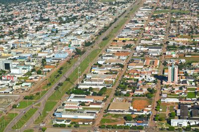
Vilhena is a municipality in eastern Rondônia located at approximately 594 meters elevation. The city serves as an administrative center and provides essential services for the local population and surrounding areas.
The municipality separated from Porto Velho in 1977 through federal legislation. Since then, it has developed into an independent administrative center for the region.
Five professional football teams, including Ajax F.C., Barcelona F.C., and CA Rondoniense, represent the strong athletic presence in the municipality.
The local airport provides connections to major Brazilian cities through regular flights. Visitors should expect a quieter pace typical of interior municipalities in the state.
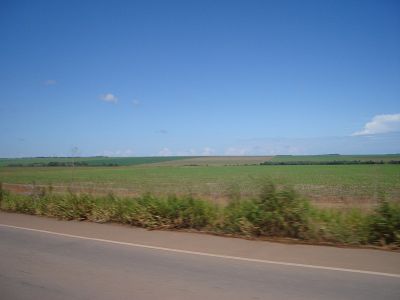
The region shifted from cattle ranching to agriculture, dramatically reducing its livestock herds. This economic transformation reshaped how the land is used and what the local economy relies on today.
The community of curious travelers
AroundUs brings together thousands of curated places, local tips, and hidden gems, enriched daily by 60,000 contributors worldwide.