Geography of Brazil, Physical geography configuration in Brazil.
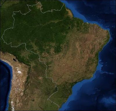
The geography of Brazil covers an area of 8.5 million square kilometers with wetlands, savannas, plateaus, mountains, and the extensive Amazon basin. The country extends from the equator to temperate latitudes and includes several climate zones.
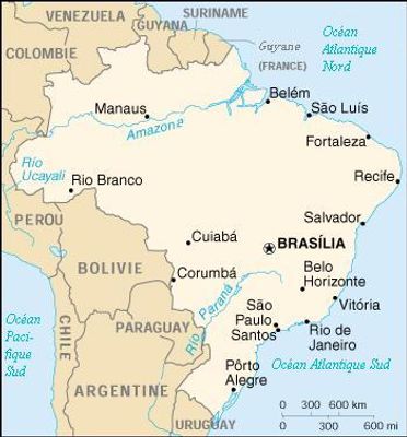
The systematic division into five major geographic regions emerged in the 1940s to simplify administrative and planning tasks. This classification organizes the territory according to natural features and economic conditions.
The varied terrain shapes different ways of life, from riverside settlements along the river to coastal towns and mountain villages. Regional traditions developed closely tied to the environment where people live and work.
Most cities concentrate along the eastern coast, where infrastructure and transport connections are best developed. In the interior, distances between towns increase considerably, and roads often cross longer uninhabited stretches.
The territory holds eight major drainage basins, all flowing toward the Atlantic and carrying enormous volumes of water. This river network also forms a natural transport artery for remote regions, where boats are often more important than vehicles.
The community of curious travelers
AroundUs brings together thousands of curated places, local tips, and hidden gems, enriched daily by 60,000 contributors worldwide.