Enable Location

We need your location to show you interesting places around you

Discover nearby places

Find interesting locations and hidden gems around you

Precise directions

Get accurate directions and distances to places

Your location is never shared with other users. It's only used when you tap the location button.

Manacapuru

Log in to your account

Start exploring — it's free

Trusted by 62,840 travelers worldwide

Continue with Google
Continue with Apple
or

We will send you a code to connect

By continuing, you accept our Terms and Conditions and our Privacy Policy

Check your inbox

We've sent a pincode in your inbox. Please enter the code below.

Manacapuru, Municipality in Amazonas, Brazil.

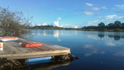
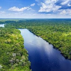
Manacapuru is a municipality in Amazonas located where the Manacapuru River meets the Solimões River in northern Brazil. The area spans around 7,300 square kilometers and includes both developed zones and expanses of Amazon rainforest.

The municipality was established on July 16, 1932, growing from early river settlements into an administrative center. This founding marked its formal recognition as a significant locality in Amazonas.

Daily life blends indigenous traditions with modern Brazilian practices, visible in how residents interact with the rivers and forests that surround them. Local habits reflect a strong connection to the water and natural world.

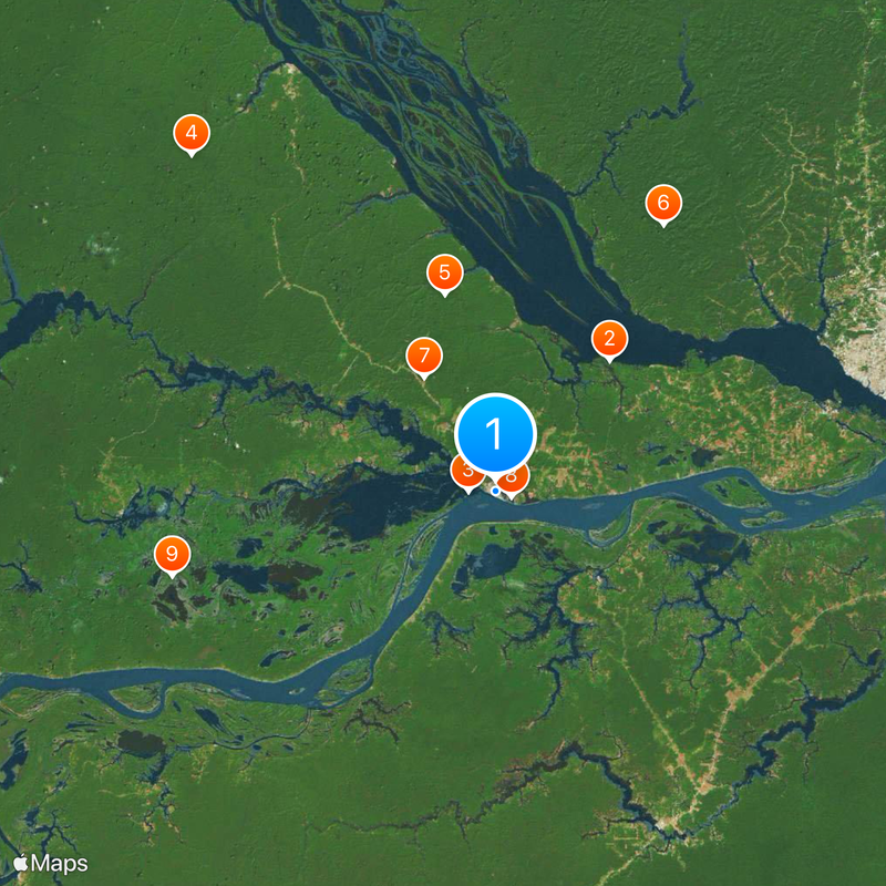
The municipality is located about 80 kilometers upstream from Manaus and is accessed primarily by river. Much of the surrounding area is protected and difficult to enter without local guidance.

Nearly a fifth of the Rio Negro Right Bank Environmental Protection Area falls within its boundaries, safeguarding delicate ecosystems. This makes it a key location for conservation efforts in the region.

The community of curious travelers

AroundUs brings together thousands of curated places, local tips, and hidden gems, enriched daily by 60,000 contributors worldwide.

Start exploring
Location
Elevation above the sea
37 m
Shares border with
Anamã, Beruri, Caapiranga, Iranduba, Manaquiri, Novo Airão
GPS coordinates
-3.30000,-60.62056
Latest update
December 19, 2025 23:11
« Manacapuru - Municipality in Amazonas, Brazil » is provided by Around Us (aroundus.com). Images and texts are derived from Wikimedia project under a Creative Commons license. You are allowed to copy, distribute, and modify copies of this page, under the conditions set by the license, as long as this note is clearly visible.

Discover hidden gems everywhere you go!

From secret cafés to breathtaking viewpoints, skip the crowded tourist spots and find places that match your style. Our app makes it easy with voice search, smart filtering, route optimization, and insider tips from travelers worldwide. Download now for the complete mobile experience.

Around Us App Screenshot

A unique approach to discovering new places

Le Figaro

All the places worth exploring

France Info

A tailor-made excursion in just a few clicks

20 Minutes

Around Us
Travel Guide & Maps
Download

Send to your phone

QR Code
1

Open the camera app on your mobile.

2

Point at the QR code with your camera. A notification will appear.

3

Tap the notification to open the link.