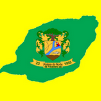
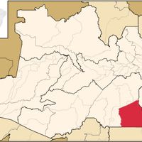
Amazonas, State division in northern Brazil.
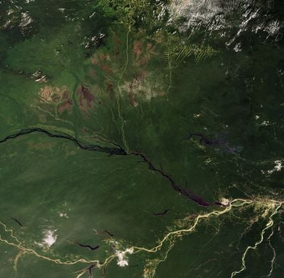
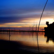
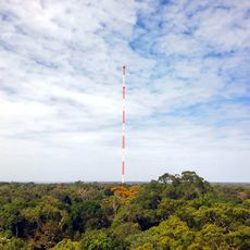
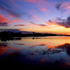
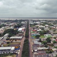
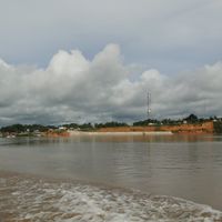
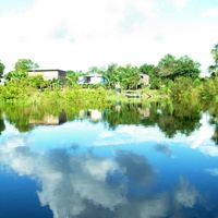
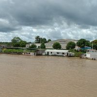
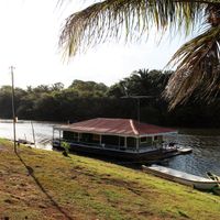
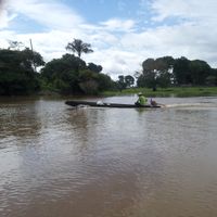
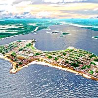
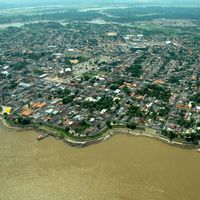
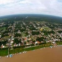
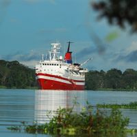
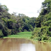
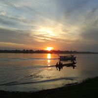
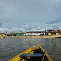
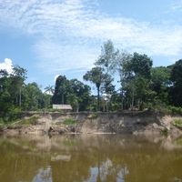
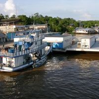
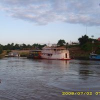
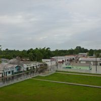
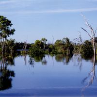
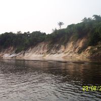
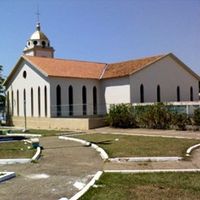
Amazonas is an administrative division in northern Brazil that covers roughly one and a half million square kilometers and includes numerous waterways, dense rainforests, and indigenous territories. The landscape is shaped by a sprawling river system that connects forests, floodplains, and remote settlements.
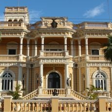
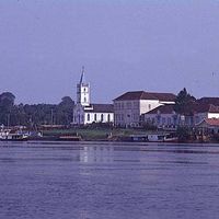
The area changed from Spanish control to Portuguese settlement in the early 1700s and became an official Brazilian state in 1889. This transformation brought new administrative structures and closer integration into the Brazilian nation.
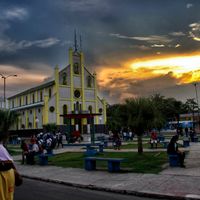
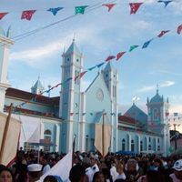
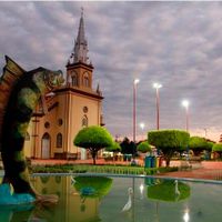
The Parintins Folklore Festival brings visitors each June to watch performances, music contests, and dance shows that bring local traditions to life. The celebrations show how people express and pass on their connection to regional identity through communal rituals.
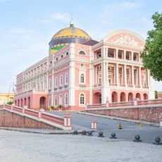
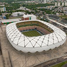
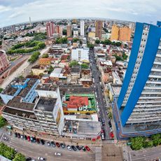
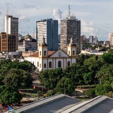
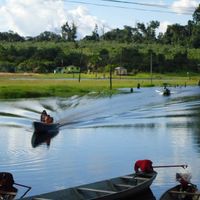
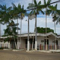
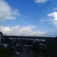
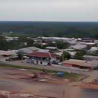
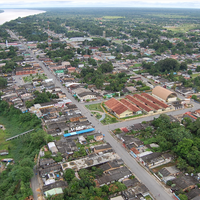
The Free Economic Zone of Manaus offers tax benefits for companies, making it a major production site for electronics and industrial goods. Travelers reach most parts of the state best by boat or plane, as paved roads outside the capital are rare.
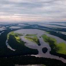
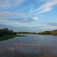
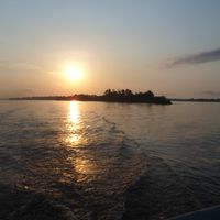
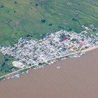
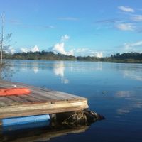
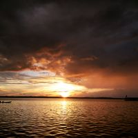
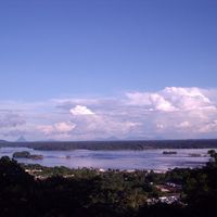
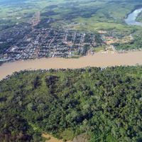
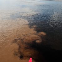
The Meeting of Waters happens where the dark Rio Negro and the brown Amazon flow side by side for around six kilometers without mixing. This effect occurs because of different flow speeds, temperatures, and densities of the two rivers.
Location: Brazil
Inception: 1889
Capital city: Manaus
Elevation above the sea: 70 m
Part of: North Region
Shares border with: Roraima, Pará, Mato Grosso, Rondônia, Acre, Loreto Department, Amazonas Department, Vaupés Department, Guainía Department, Bolívar
Website: http://amazonas.am.gov.br
GPS coordinates: -3.98333,-64.63333
Latest update: December 3, 2025 18:47
Arena Amazônia
521.4 km
Rio Negro Bridge
515 km
Praia de Ponta Negra
513.8 km
Zoológico do CIGS
518.9 km
Anavilhanas National Park
448.9 km
Jaú National Park
301.6 km
Vivaldão
521.4 km
Amazon River
447.4 km
Government of Amazonas
517.4 km
Adolfo Ducke Forest Reserve
534.6 km
Parque Municipal do Mindu
523.4 km
Complexo Penitenciário Anísio Jobim
526.1 km
Manaus Brazil Temple
514.9 km
Sumaúma State Park
527.6 km
Central Amazon Conservation Complex
344.8 km
Moon Beach
513.8 km
Pitinga mine
618.4 km
Rio Negro Left Bank Environmental Protection Area
505.1 km
Caverna do Maroaga Environmental Protection Area
577.3 km
Lower Rio Negro Mosaic
440.3 km
Reserva Extrativista do Rio Unini
429.7 km
UCI Manauara Shopping
521 km
UCI Sumaúma Park Shopping
527.7 km
Cinépolis Manaus Plaza
521.4 km
Kinoplex Amazonas Shopping
521.5 km
Cinépolis Millenium Shopping
521 km
Cinépolis Ponta Negra
516 km
Maroaga Cave
561.2 kmVisited this place? Tap the stars to rate it and share your experience / photos with the community! Try now! You can cancel it anytime.
Anamã
Anori
Beruri
Caapiranga
Coari
Codajás
Itacoatiara
Itapiranga
Nova Olinda do Norte
Silves
Urucurituba
Autazes
Careiro
Careiro da Várzea
Iranduba
Manacapuru
Manaquiri
Manaus
Barreirinha
Boa Vista do Ramos
Maués
Nhamundá
Parintins
São Sebastião do Uatumã
Urucará
Presidente Figueiredo
Rio Preto da Eva
Alvarães
Tefé
Uarini
Japurá
Maraã
Barcelos
Novo Airão
Santa Isabel do Rio Negro
São Gabriel da Cachoeira
Amaturá
Atalaia do Norte
Benjamin Constant
Fonte Boa
Jutaí
Santo Antônio do Içá
São Paulo de Olivença
Tabatinga
Tonantins
Carauari
Eirunepé
Envira
Guajará
Ipixuna
Itamarati
Juruá
Boca do Acre
Pauini
Apuí
Borba
Humaitá
Manicoré
Novo Aripuanã
Canutama
Lábrea
Tapauá
Discover hidden gems everywhere you go!
From secret cafés to breathtaking viewpoints, skip the crowded tourist spots and find places that match your style. Our app makes it easy with voice search, smart filtering, route optimization, and insider tips from travelers worldwide. Download now for the complete mobile experience.
A unique approach to discovering new places❞
— Le Figaro
All the places worth exploring❞
— France Info
A tailor-made excursion in just a few clicks❞
— 20 Minutes