Boca do Acre, Municipality in Amazonas, Brazil
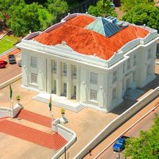
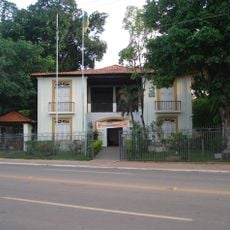
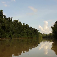
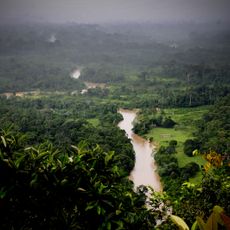
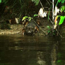
Boca do Acre is a municipality in Amazonas state that sits at the edge of vast forest and river systems in Brazil. The town functions as an administrative hub serving surrounding communities and protecting significant forest reserves.
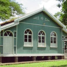
The region was first inhabited by indigenous peoples before becoming a settlement during the colonial period and eventually an administrative center. Over time, the town's role evolved to manage the surrounding forest territories and their protection.
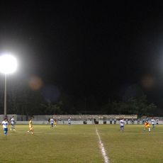
The municipality serves as a meeting point where indigenous traditions and local farming practices shape daily community life. Residents gather regularly for markets and celebrations that reflect the rhythms of forest and river living.
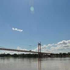
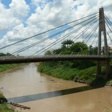
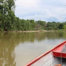
The town offers basic services and facilities for visitors exploring the region, with access mainly through river and air transport. Plan your visit during the dry season when travel becomes easier and roads are more accessible.
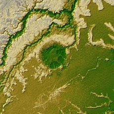
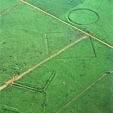
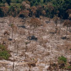
The town's territory encompasses two major protected forest areas that together form one of the largest conservation zones in the region. This dual reserve system creates a unique situation where the municipal boundaries integrate critical forest protection.
GPS coordinates: -8.75535,-67.39309
Latest update: December 7, 2025 19:31
Madeira-Mamoré Railroad
383.4 km
Palácio Rio Branco
143.3 km
President Guillermo Billinghurst Bridge
469.2 km
Manuripi-Heath Amazonian Wildlife National Reserve
359.9 km
Wilson Pinheiro Binational Bridge
292.5 km
Iturralde Crater
427.6 km
Museu da Borracha Governador Geraldo Mesquita
142.9 km
Acre geoglyphs
346.1 km
Purús Communal Reserve
434 km
Chico Mendes' house
139.4 km
Estádio José de Melo
142.7 km
Mapinguari National Park
331.1 km
Brazil-Peru Integration Bridge
341.5 kmEstádio Antônio Aquino Lopes
147.3 km
Chandless State Park
355.1 km
Médio Juruá Extractive Reserve
356.9 km
Ituxi Extractive Reserve
261.6 km
Rio Acre Ecological Station
396.9 km
Alto Juruá Extractive Reserve
519.8 km
Iquiri National Forest
144.2 km
Santa Rosa River
349.1 km
Uacari Sustainable Development Reserve
333.6 km
Rio Ouro Preto Extractive Reserve
370.3 km
Estádio Álvaro Felício Abrahão
243.8 km
Seringal Bom Destino
105.6 km
Madeira-Mamoré Railroad, rail yard
383.3 km
Castanheira do Estádio Aluízio Pinheiro Ferreira
383.1 km
Capela de Santo Antônio de Pádua
379.4 kmVisited this place? Tap the stars to rate it and share your experience / photos with the community! Try now! You can cancel it anytime.
Discover hidden gems everywhere you go!
From secret cafés to breathtaking viewpoints, skip the crowded tourist spots and find places that match your style. Our app makes it easy with voice search, smart filtering, route optimization, and insider tips from travelers worldwide. Download now for the complete mobile experience.
A unique approach to discovering new places❞
— Le Figaro
All the places worth exploring❞
— France Info
A tailor-made excursion in just a few clicks❞
— 20 Minutes