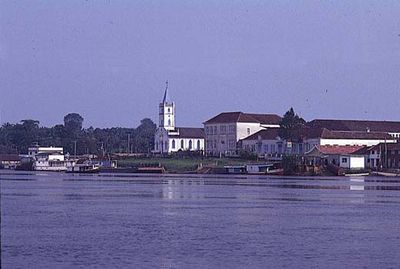
Barcelos, Municipality in northern Amazonas, Brazil.
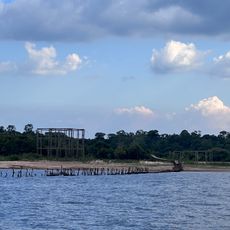
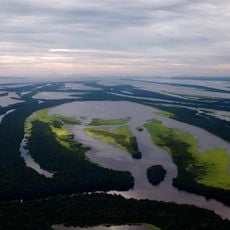
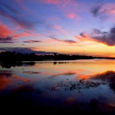
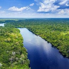
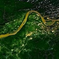
Barcelos is a city in northern Brazil situated along the Negro River, spread across a large area surrounded by dense rainforest. Thousands of islands shape the river landscape and make the place a major center for ornamental fish trade.
The area was originally a Manaus indigenous village called Mariua before becoming the administrative capital of a regional territory in the mid-18th century. This shift marked the start of its role as a major settlement on the Rio Negro.
The annual ornamental fish festival in January brings visitors who observe fish species and participate in fishing activities. The event reflects how deeply fish breeding shapes the identity and daily rhythms of the local community.
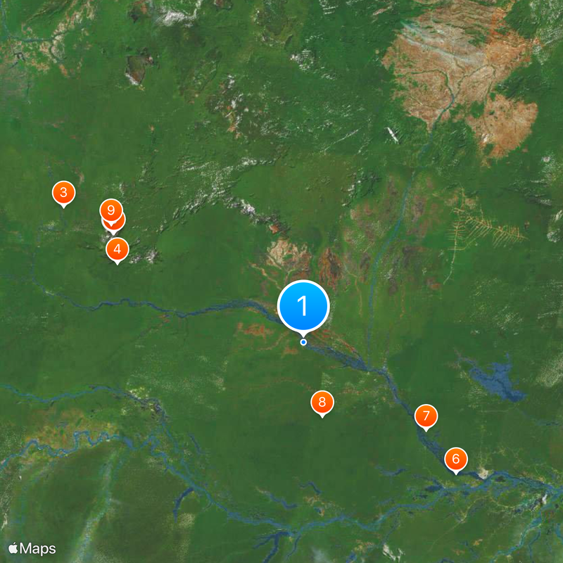
The city is reachable by small aircraft or boats on the Negro River, which carry most transport traffic. Visitors should expect humid tropical weather and understand that supply of goods relies on river routes.
The city is the world's largest center for trading live ornamental fish, supplying aquarium enthusiasts in many countries. This specialized industry has shaped the local economy and infrastructure for decades.
Location: Amazonas
Elevation above the sea: 41 m
Shares border with: Caracaraí, Coari, Codajás, Iracema, Maraã, Novo Airão, Rorainópolis, Santa Isabel do Rio Negro
Website: http://barcelos.am.gov.br
GPS coordinates: -0.97500,-62.92389
Latest update: December 20, 2025 14:36
Pico da Neblina
396.2 km
Piedra del Cocuy
498.9 km
Pico da Neblina National Park
365.8 km
Pico 31 de Março
396.3 km
Ariau Towers
363.1 km
Anavilhanas National Park
273.2 km
Jaú National Park
137.4 km
Serranía La Neblina National Park
407.4 km
Piedra del Cocuy Natural Monument
498.9 km
Parima-Tapirapecó National Park
518.6 km
Amazon River
360.7 km
Mamirauá Sustainable Development Reserve
338.4 km
Cachoeira do El Dorado
211 kmAbismo Guy Collet
211.7 km
Cerro Duida
576 kmMaracá Biological Reserve
505.7 km
Central Amazon Conservation Complex
182.3 km
Morro dos Seis Lagos Biological Reserve
443.5 km
Pitinga mine
314.5 km
Serra da Mocidade National Park
266.8 kmForte de São Gabriel da Cachoeira
473.1 km
Uatumã Biological Reserve
386.3 km
Serra do Aracá State Park
287.2 kmAmanã Sustainable Development Reserve
232.4 km
Viruá National Park
321.8 kmCerro Avispa
413.1 km
Forte de São José de Marabitanas
489.8 kmAmazonas National Forest
306.9 kmVisited this place? Tap the stars to rate it and share your experience / photos with the community! Try now! You can cancel it anytime.
Discover hidden gems everywhere you go!
From secret cafés to breathtaking viewpoints, skip the crowded tourist spots and find places that match your style. Our app makes it easy with voice search, smart filtering, route optimization, and insider tips from travelers worldwide. Download now for the complete mobile experience.
A unique approach to discovering new places❞
— Le Figaro
All the places worth exploring❞
— France Info
A tailor-made excursion in just a few clicks❞
— 20 Minutes