Parima-Tapirapecó National Park, National park in Amazonas state, Venezuela.
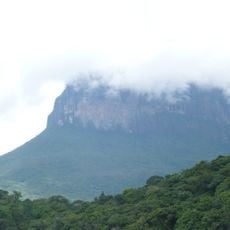
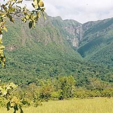
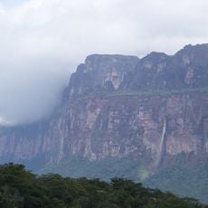
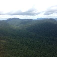
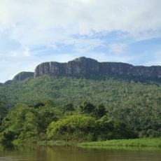
Parima-Tapirapecó National Park is a protected area in the southern part of Venezuela's Amazonas state, along the Brazilian border. The land runs from lowland rainforest up through mid-elevation forest to forested mountain peaks, creating a wide range of habitats within a single territory.
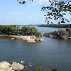
The park was created in 1991 to protect the headwaters of the Orinoco River and the surrounding forest ecosystems. This decision came from the recognition that the region plays a fundamental role in feeding one of South America's longest rivers.
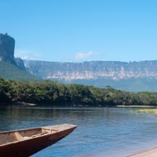
The Yanomami people have lived in this territory for generations, hunting, fishing, and farming in ways that remain largely unchanged today. Entering the park means walking through land that is still actively used and shaped by their communities.
The nearest access point is La Esmeralda, and visitors must obtain a permit from the park authority before entering. The location is remote, so planning ahead and arranging local support is necessary for any visit.
The terrain rises to over 2,000 meters (6,500 feet), and this difference in elevation allows hundreds of fish species to live in separate river systems within the same park. As a result, the area is considered one of the most fish-rich parts of the entire Orinoco basin.
The community of curious travelers
AroundUs brings together thousands of curated places, local tips, and hidden gems, enriched daily by 60,000 contributors worldwide.