Piedra del Cocuy Natural Monument, Natural monument at triple border of Venezuela, Brazil, and Colombia.
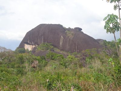
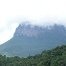
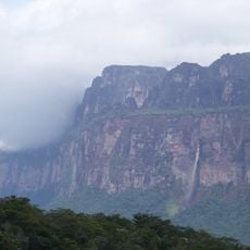
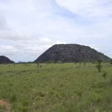
Piedra del Cocuy Natural Monument is a granite inselberg formation rising approximately 450 meters above sea level with three distinct peaks visible from various angles. The formation occupies an area between the Amazon and Orinoco river basins, creating a prominent geological landmark in this remote region.
The Venezuelan government designated this formation as a protected natural monument on December 12, 1978, recognizing the importance of preserving its geological characteristics. This protection came as awareness grew about safeguarding the distinctive natural features of the Amazon region.
Indigenous communities like the Baniwa, Karupaka, and Karry have shaped the region for generations, and their presence remains deeply woven into the landscape. The rock formation itself holds significance in their understanding of the surrounding forest and waterways.
The Rio Negro waterway serves as the main access route to this remote site, making water transport the primary means of reaching the formation. Visitors should be prepared for conditions that vary greatly with water levels and seasonal weather patterns in the Amazon region.
The granite formation serves as a natural boundary marker where three nations converge, and Brazil's Cucuí military outpost can sometimes be spotted from the summit. This geographical detail creates an unusual meeting point where natural geology and international borders intersect.
The community of curious travelers
AroundUs brings together thousands of curated places, local tips, and hidden gems, enriched daily by 60,000 contributors worldwide.