Viruá National Park, National park in Caracaraí, Brazil.
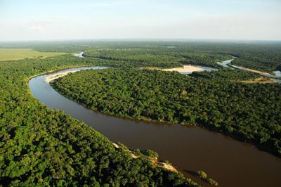
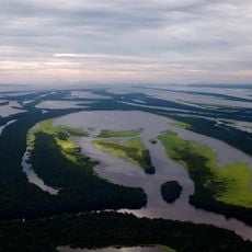
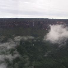
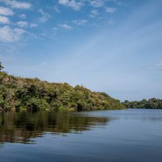
Viruá National Park is a protected area in Roraima state covering more than 240,000 hectares of sandy plains and forests along the Branco River. The landscape features a distinctive ecological type called Campinarana, characterized by sandy soils and a particular mix of vegetation adapted to these conditions.
The park was established in 1998 to protect the rare Campinarana ecological region within the Rio Negro basin from further disturbance. This designation recognized the need to preserve a landscape type found nowhere else in such concentration.
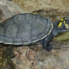
The park functions as a working research station where scientists regularly study the region's plant and animal diversity, visible in the research camps and ongoing surveys throughout the area. This active scientific presence has shaped how the park is used and understood by those who visit.
Access to the park is typically arranged through guided tours, as trails can be difficult to navigate independently due to dense vegetation and wet terrain. Plan your visit during the dry season when paths are more passable and conditions are generally more manageable.
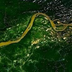
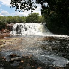
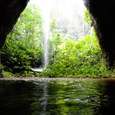
The park contains a network of blackwater rivers with extremely low nutrient content, creating dark and transparent waterways that support adapted species. During rainy seasons these rivers undergo dramatic changes, creating temporary flooded areas that are critical for certain fish and plant species.
The community of curious travelers
AroundUs brings together thousands of curated places, local tips, and hidden gems, enriched daily by 60,000 contributors worldwide.