Roraima, Northern state in Brazil
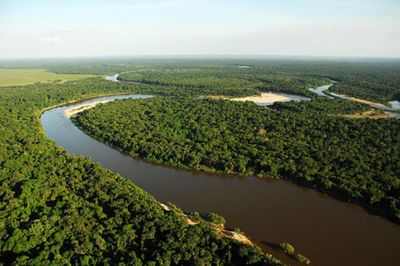
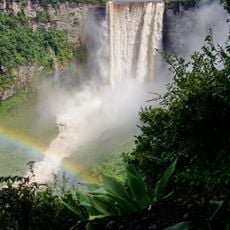
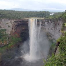
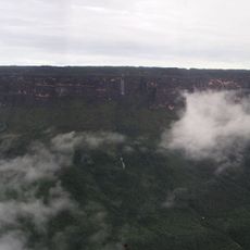
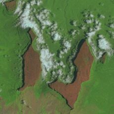
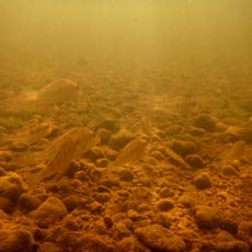
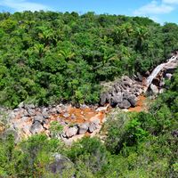
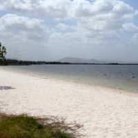
Roraima is a state at the northernmost tip of Brazil, bordering Venezuela and Guyana and combining savannas, rainforests and river landscapes. Its area ranges from open grasslands to dense wooded zones crossed by several major rivers.
The territory belonged to the Portuguese colonial empire until the late 18th century and was long administered as a fringe zone before being elevated to federal territory status in the 1940s. Full recognition as an independent state came only in 1988 through the new Brazilian constitution.
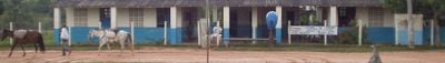
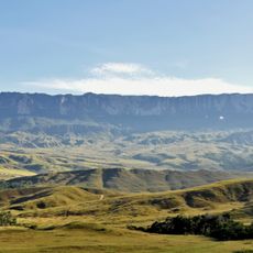
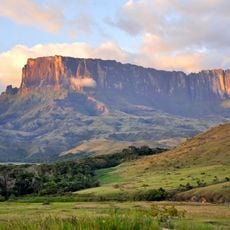
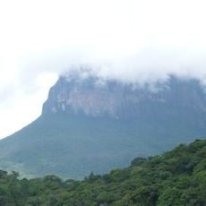
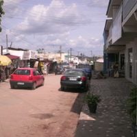
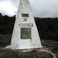
The name comes from a tepui summit at the tripoint border, known in indigenous languages as the mother of waters and serving today as a geographic landmark. Visitors meet people in towns and villages with roots in several worlds, moving daily between modern shops and traditional markets.
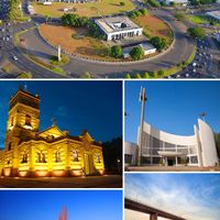
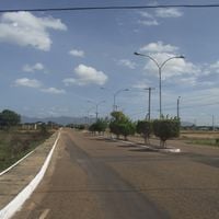
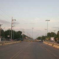
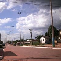
Boa Vista serves as the capital and central hub for all major overland connections and border crossings to neighboring countries. Those exploring the interior should prepare for long journeys on unpaved roads that can become difficult to pass during the rainy season.
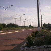
The capital is one of the few Brazilian cities laid out with a radial street plan, with avenues extending like spokes from a central square. Some areas along the border experience natural fires during the dry season that renew the grassland and have been part of the ecological cycle for centuries.
The community of curious travelers
AroundUs brings together thousands of curated places, local tips, and hidden gems, enriched daily by 60,000 contributors worldwide.