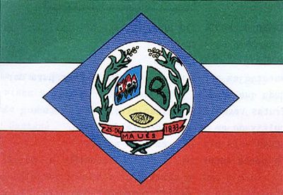
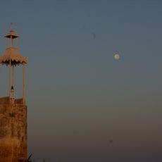
Maués, Municipality in Amazonas, Brazil.
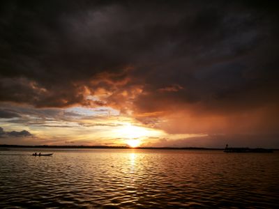
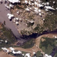
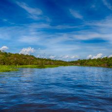
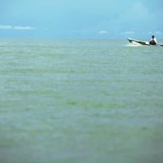
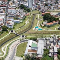
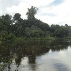
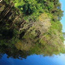
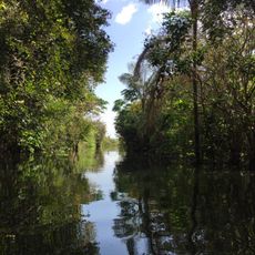
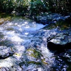
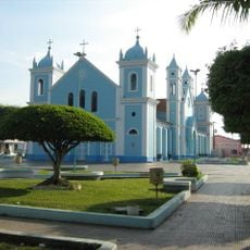
Maués is a municipality in Amazonas that spreads across roughly 40,000 square kilometers of rainforest and lies on the banks of the Maués-Açu River. The landscape consists of dense forest with numerous waterways and is known as a center for guaraná cultivation.
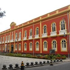
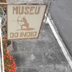
The municipality was established in 1833 and took its name from indigenous peoples who lived in the region for a long time. These groups had a special relationship with the rainforest's wildlife and shaped the area's history.
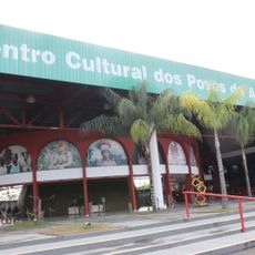
The annual Guaraná Festival celebrates the harvest of this native fruit with traditional music and dance performances by local communities. Residents maintain a deep connection to this plant, which plays a central role in their daily life and celebrations.
Visitors can reach Maués from Manaus by regional boat in about 18 hours, by speedboat in about 7 hours, or by flight to the local airport. The best option depends on your budget and schedule, as all three routes are available.
The region contains several protected areas such as the Alto Maués Ecological Station and parts of the Amazônia National Park. These designated areas safeguard the native flora and fauna from human interference.
Location: Amazonas
Inception: June 25, 1833
Elevation above the sea: 89 m
Shares border with: Apuí, Aveiro, Barreirinha, Boa Vista do Ramos, Borba, Itacoatiara, Itaituba, Jacareacanga, Nova Olinda do Norte
Website: http://maues.am.gov.br
GPS coordinates: -3.38361,-57.71861
Latest update: December 7, 2025 10:06
Mercado Adolpho Lisboa
257.6 km
Rio Negro Palace
256.9 km
Forte de São José da Barra do Rio Negro
249.9 km
Provincial Palace
257.4 km
Amazônia National Park
152.7 km
Customs building (Manaus)
257.9 km
Benjamin Constant suspended bridge
256.2 km
Pinacoteca do Estado do Amazonas
257.4 km
Juruena National Park
501.3 km
Tapajós hydroelectric complex
209.3 km
Parque Senador Jefferson Péres
257 km
Museu do Índio de Manaus
256.4 km
Faculdade de Direito da Universidade Federal do Amazonas
257.5 km
Jamanxim National Park
333.3 km
Juma Sustainable Development Reserve
411.1 km
Chaminé Theatre
256.9 km
Capela de Santo Antônio do Pobre Diabo
255.6 km
Tapajós Environmental Protection Area
365.8 km
Crepori National Forest
355.9 km
Itaituba II National Forest
246 km
Trairão National Forest
294.9 km
Moronas Lighthouse
230.7 km
Bernardo Ramos Museum of Numismatics
257.4 km
Customs lighthouse
257.9 km
Centro Cultural dos Povos da Amazônia
253.9 km
Borba Cathedral
236.2 km
Church Our Lady of the Remedies
257.4 km
Conjunto arquitetônico Porto de Manaus
257.9 kmVisited this place? Tap the stars to rate it and share your experience / photos with the community! Try now! You can cancel it anytime.
Discover hidden gems everywhere you go!
From secret cafés to breathtaking viewpoints, skip the crowded tourist spots and find places that match your style. Our app makes it easy with voice search, smart filtering, route optimization, and insider tips from travelers worldwide. Download now for the complete mobile experience.
A unique approach to discovering new places❞
— Le Figaro
All the places worth exploring❞
— France Info
A tailor-made excursion in just a few clicks❞
— 20 Minutes