Amazônia National Park, National park in Pará, Brazil
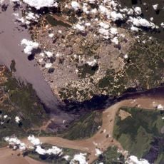
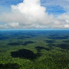
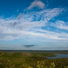
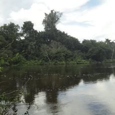
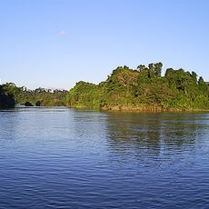
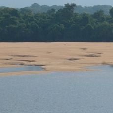
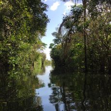
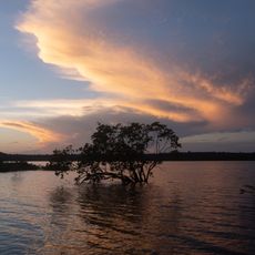
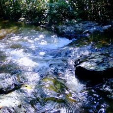
Amazônia National Park covers 1,070,737 hectares on both banks of the Tapajós River in Itaituba and Trairão municipalities, Pará state. About 98% is dense humid lowland forest whose tallest trees reach roughly 50 m; white-sand grasslands lie beside the river's upper reaches. The Tapajós, carrying little sediment, separates plant and animal populations on the two banks.
The park was created by federal decree 73.683 on 19 February 1974. Its boundaries were altered in 1985, 2006 and 2011, and Law 12.678 of 25 June 2012 reduced its area to 1,070,737 hectares. A consultative council was set up on 26 November 2004.
The Instituto Chico Mendes de Conservação da Biodiversidade manages this protected area, maintaining research facilities and educational programs about rainforest preservation.
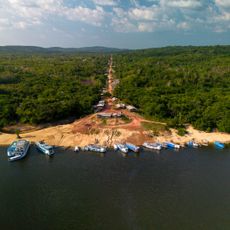
The park is reached from Itaituba, about 53 km from the first base, or from Santarém, which has an airport at the Tapajós-Amazon confluence. The Transpantaneira crosses the park east to west; outside the paved stretch to Itaituba it is gravel that deteriorates in the November-to-April rains and needs repairs each May and June. Four-wheel-drive vehicles are usually required, and river transport is common.
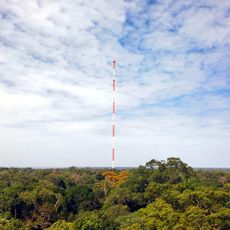
Trees in the park reach heights exceeding 50 meters, forming a dense canopy that filters light and provides habitat for countless vines, lichens, and orchids. This extreme vertical structure creates multiple living layers, each with its own communities of plants and animals.
The community of curious travelers
AroundUs brings together thousands of curated places, local tips, and hidden gems, enriched daily by 92,817 contributors worldwide.