Enable Location

We need your location to show you interesting places around you

Discover nearby places

Find interesting locations and hidden gems around you

Precise directions

Get accurate directions and distances to places

Your location is never shared with other users. It's only used when you tap the location button.

Itaituba

Log in to your account

Start exploring — it's free

Trusted by 61,995 travelers worldwide

Continue with Google
Continue with Apple
or

We will send you a code to connect

By continuing, you accept our Terms and Conditions and our Privacy Policy

Check your inbox

We've sent a pincode in your inbox. Please enter the code below.

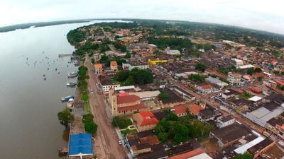
Itaituba, River port municipality in western Pará, Brazil

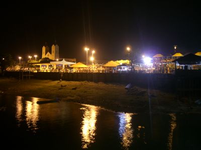
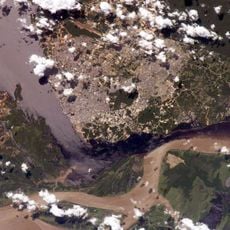
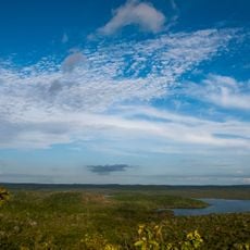
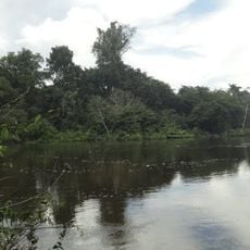
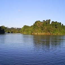
Itaituba sits on the Tapajós River at about 15 meters elevation and serves as the main transportation hub for the western region of Pará state. The city stretches along the river, acting as a key point where goods and people moving through this remote area meet and transfer.

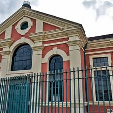
The settlement began in 1812 as a trading post and received official municipality status in 1856 through the economic influence of early Portuguese colonists. This founding period shaped its role as a trading center along one of the main river routes of the region.

The July celebration of Our Lady of Santana brings residents together for traditional processions, regional music performances, and local food specialties. These festivities show how the community maintains its connection to Catholic traditions and local customs.

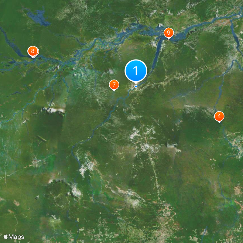
Visitors can reach several national forests and parks from the city, with regular boat connections to other municipalities along the Tapajós River system. The best time for river travel is during the wetter months when water levels are higher and boats run more reliably.

The area holds substantial gold deposits, making it a central location for mining activities in the Amazon region of Brazil. This mining activity has shaped the city's character and draws workers from across the country.

The community of curious travelers

AroundUs brings together thousands of curated places, local tips, and hidden gems, enriched daily by 60,000 contributors worldwide.

Start exploring
Location
Inception
December 15, 1856
Elevation above the sea
15 m
Shares border with
Novo Progresso, Aveiro, Altamira, Trairão, Rurópolis, Jacareacanga, Maués
GPS coordinates
-4.27583,-55.98389
Latest update
December 14, 2025 18:27
« Itaituba - River port municipality in western Pará, Brazil » is provided by Around Us (aroundus.com). Images and texts are derived from Wikimedia project under a Creative Commons license. You are allowed to copy, distribute, and modify copies of this page, under the conditions set by the license, as long as this note is clearly visible.

Discover hidden gems everywhere you go!

From secret cafés to breathtaking viewpoints, skip the crowded tourist spots and find places that match your style. Our app makes it easy with voice search, smart filtering, route optimization, and insider tips from travelers worldwide. Download now for the complete mobile experience.

Around Us App Screenshot

A unique approach to discovering new places

Le Figaro

All the places worth exploring

France Info

A tailor-made excursion in just a few clicks

20 Minutes

Around Us
Travel Guide & Maps
Download

Send to your phone

QR Code
1

Open the camera app on your mobile.

2

Point at the QR code with your camera. A notification will appear.

3

Tap the notification to open the link.