Enable Location

We need your location to show you interesting places around you

Discover nearby places

Find interesting locations and hidden gems around you

Precise directions

Get accurate directions and distances to places

Your location is never shared with other users. It's only used when you tap the location button.

Rio Preto da Eva

Log in to your account

Start exploring — it's free

Trusted by 62,840 travelers worldwide

Continue with Google
Continue with Apple
or

We will send you a code to connect

By continuing, you accept our Terms and Conditions and our Privacy Policy

Check your inbox

We've sent a pincode in your inbox. Please enter the code below.

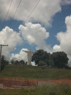
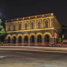
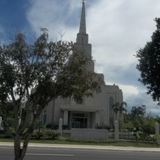
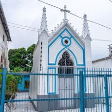
Rio Preto da Eva, Municipality in Amazonas, Brazil.

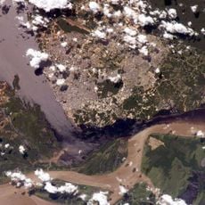
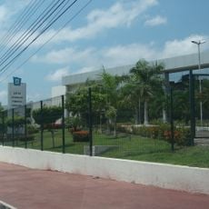
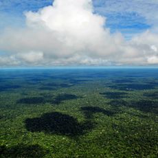
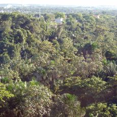
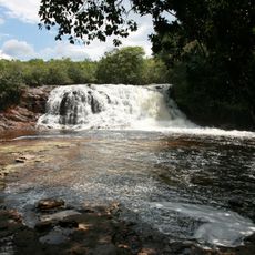
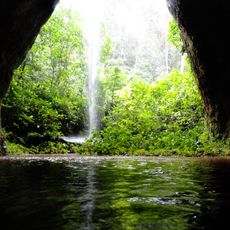
Rio Preto da Eva is a municipality in the Amazon region, situated about 57 kilometers northeast of Manaus. The area spans rainforest landscapes shaped by rivers and natural forest habitats.

The municipality was established in 1981 as an independent administrative unit within Amazonas state. This creation marked a reorganization of administrative boundaries in the region.

Agriculture here revolves around cassava and tropical fruits, practices that have shaped how people live and work in this region for many generations.

Visitors can reach the municipality by paved roads from Manaus, with regular bus services connecting both places throughout the day. Travel conditions are generally better during the drier months when road access is most reliable.

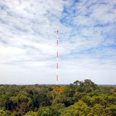
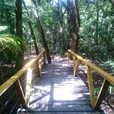
Parts of the Biological Dynamics of Forest Fragments Project and Rio Urubu State Forest are located here, where long-term scientific research on forest ecosystems takes place. These protected areas make the region an important location for studying tropical forest conservation.

The community of curious travelers

AroundUs brings together thousands of curated places, local tips, and hidden gems, enriched daily by 60,000 contributors worldwide.

Start exploring
Location
Inception
December 10, 1981
Elevation above the sea
118 m
Shares border with
Itacoatiara, Itapiranga, Manaus, Presidente Figueiredo
GPS coordinates
-2.69889,-59.70000
Latest update
December 7, 2025 19:31
« Rio Preto da Eva - Municipality in Amazonas, Brazil » is provided by Around Us (aroundus.com). Images and texts are derived from Wikimedia project under a Creative Commons license. You are allowed to copy, distribute, and modify copies of this page, under the conditions set by the license, as long as this note is clearly visible.

Discover hidden gems everywhere you go!

From secret cafés to breathtaking viewpoints, skip the crowded tourist spots and find places that match your style. Our app makes it easy with voice search, smart filtering, route optimization, and insider tips from travelers worldwide. Download now for the complete mobile experience.

Around Us App Screenshot

A unique approach to discovering new places

Le Figaro

All the places worth exploring

France Info

A tailor-made excursion in just a few clicks

20 Minutes

Around Us
Travel Guide & Maps
Download

Send to your phone

QR Code
1

Open the camera app on your mobile.

2

Point at the QR code with your camera. A notification will appear.

3

Tap the notification to open the link.