Enable Location

We need your location to show you interesting places around you

Discover nearby places

Find interesting locations and hidden gems around you

Precise directions

Get accurate directions and distances to places

Your location is never shared with other users. It's only used when you tap the location button.

Lábrea

Log in to your account

Start exploring — it's free

Trusted by 62,844 travelers worldwide

Continue with Google
Continue with Apple
or

We will send you a code to connect

By continuing, you accept our Terms and Conditions and our Privacy Policy

Check your inbox

We've sent a pincode in your inbox. Please enter the code below.

Lábrea, Municipality in Amazonas, Brazil.

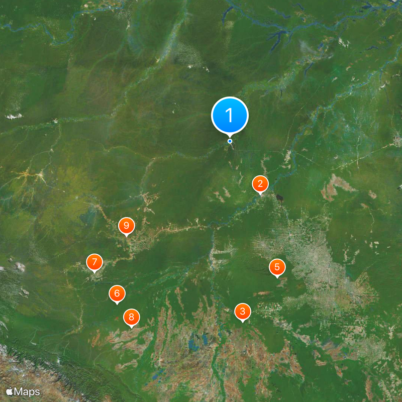
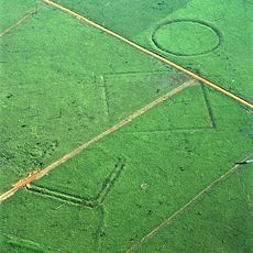
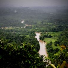
Lábrea is a municipality in southern Amazonas that extends across a vast forested region bordering conservation areas and indigenous territories. The administrative center sits within this landscape shaped by rivers, forest, and scattered settlements.

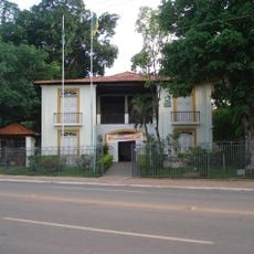
The settlement became a municipality in 1881 and served as a regional administrative center. This status helped establish its role in the economic development of the Amazon region during that era.

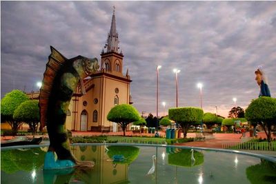
The settlement reflects a blend of indigenous traditions and Brazilian practices that visitors can observe during local celebrations and in community daily life. This mixing shapes how people connect with their environment and with each other.

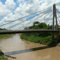
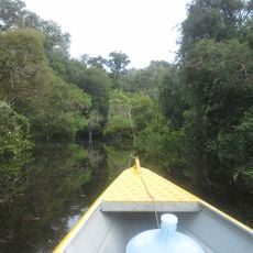
Travel to the municipality relies mainly on river routes and the local airport, with boats being the primary way to reach neighboring communities. Plan for longer travel times and check seasonal water levels, as they affect route availability.

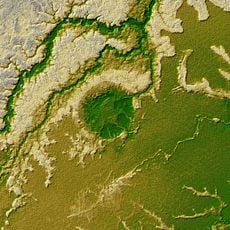
The area contains sections of the Iquiri National Forest and Mapinguari National Park with extensive protected rainforest. These protected zones safeguard one of the oldest and most biodiverse forest ecosystems in the world.

The community of curious travelers

AroundUs brings together thousands of curated places, local tips, and hidden gems, enriched daily by 60,000 contributors worldwide.

Start exploring
Location
Inception
1881
Elevation above the sea
127 m
Shares border with
Canutama, Sena Madureira, Bujari, Porto Acre, Acrelândia, Porto Velho, Boca do Acre, Itamarati, Pauini, Senador Guiomard, Tapauá
GPS coordinates
-7.25889,-64.79778
Latest update
December 20, 2025 13:27
« Lábrea - Municipality in Amazonas, Brazil » is provided by Around Us (aroundus.com). Images and texts are derived from Wikimedia project under a Creative Commons license. You are allowed to copy, distribute, and modify copies of this page, under the conditions set by the license, as long as this note is clearly visible.

Discover hidden gems everywhere you go!

From secret cafés to breathtaking viewpoints, skip the crowded tourist spots and find places that match your style. Our app makes it easy with voice search, smart filtering, route optimization, and insider tips from travelers worldwide. Download now for the complete mobile experience.

Around Us App Screenshot

A unique approach to discovering new places

Le Figaro

All the places worth exploring

France Info

A tailor-made excursion in just a few clicks

20 Minutes

Around Us
Travel Guide & Maps
Download

Send to your phone

QR Code
1

Open the camera app on your mobile.

2

Point at the QR code with your camera. A notification will appear.

3

Tap the notification to open the link.