Parintins, Municipality on Tupinambarana island, Brazil
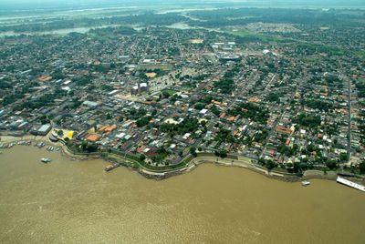
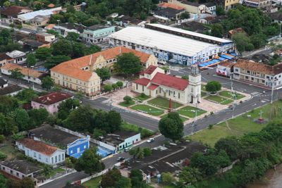
Parintins is a town on Tupinambarana Island in the eastern part of Amazonas state, sitting directly on the banks of the Amazon River. The settlement spreads across several neighborhoods grouped around a central square, with wooden and brick homes and a few larger buildings near the harbor.
The settlement began in the late 18th century as a cocoa plantation established by a Portuguese colonist on the island. Over time it grew into a larger community increasingly reliant on trade with products from the rainforest.
The annual folk festival in June fills the streets with people wearing bright red or blue jerseys, depending on which team they support. The entire town divides into two camps, and even homes, shops, and vehicles display only one of these two colors during the festival days.
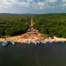
The journey involves regular ferry connections from the harbor in Manaus taking several hours, or charter flights in about an hour. Lodging can be found in small guesthouses and floating accommodations along the riverfront, with advance booking strongly recommended during the festival days in June.
Local businesses change their company colors during the festival days, so well-known brands appear in unusual shades to avoid offending anyone. This consideration shows how deeply the rivalry between the two teams is rooted in the daily life of residents.
The community of curious travelers
AroundUs brings together thousands of curated places, local tips, and hidden gems, enriched daily by 60,000 contributors worldwide.