São Gabriel da Cachoeira, Border municipality in northern Amazonas, Brazil.
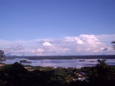
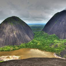
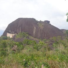
São Gabriel da Cachoeira is a settlement along the Rio Negro in the remote upper Amazon region of northern Brazil. The municipality sits within extensive rainforest and operates as an important hub for communities throughout its surrounding territories.
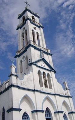
Franciscan friars and military officers founded the settlement in 1668 to establish both a spiritual mission and a strategic post in the region. A fort constructed in 1761 strengthened its role as a key center along the river trade routes.
The settlement recognizes four official languages: Portuguese and three Indigenous languages—Nheengatu, Baniwa, and Yepá-masã—which shape daily interaction and community identity. This linguistic diversity reflects how deeply Indigenous traditions remain woven into the social fabric of the municipality.
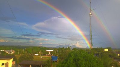
The settlement is remote and reached primarily by river travel along the Rio Negro or through a local airport. Visitors should prepare for limited services and longer travel times compared to more accessible Brazilian regions.
The population is composed of Indigenous people from around 23 different ethnic groups, representing more than three-quarters of all residents, making it the Brazilian municipality with the highest percentage of Indigenous inhabitants. This unusual demographic composition shapes every aspect of local life and gives the place its distinctive character.
The community of curious travelers
AroundUs brings together thousands of curated places, local tips, and hidden gems, enriched daily by 60,000 contributors worldwide.