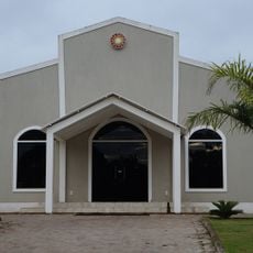
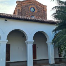
Porto Nacional, Municipality and administrative center in Tocantins, Brazil
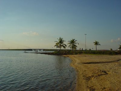
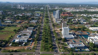
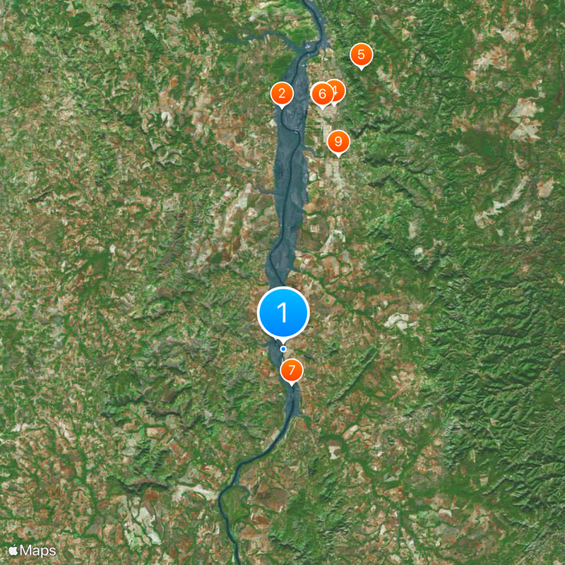
Porto Nacional is a municipality in Tocantins situated on the right bank of the Tocantins River, serving as the administrative center of the region. The town sits on flat terrain at an elevation of approximately 210 meters and functions as a hub for surrounding communities.
The settlement was established in 1857 as a river port on the Tocantins, enabling trade between distant regions and supporting commerce across the territory. This port development transformed it into a connection point for the exchange of goods and the linking of remote areas.
The Festa do Divino Espírito Santo draws residents together each year with religious ceremonies and traditional music performances rooted in local beliefs. The event showcases regional dances and customs that reflect the spiritual identity of the community.
Visitors should prepare for tropical weather with heavy rainfall during certain seasons, as the climate can affect road conditions and accessibility. It helps to familiarize yourself with the local street layout and check with local services for the best times to explore different areas.
The settlement evolved from a simple river port into an important economic center, yet the connection to the waterway remains defining to its identity even today. The riverside location has historically shaped how the town is organized and how residents relate to the landscape.
The community of curious travelers
AroundUs brings together thousands of curated places, local tips, and hidden gems, enriched daily by 60,000 contributors worldwide.