Brumado, Mining municipality in Bahia, Brazil.
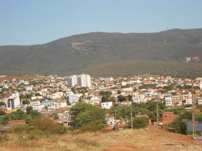
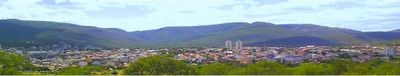
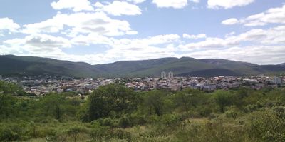
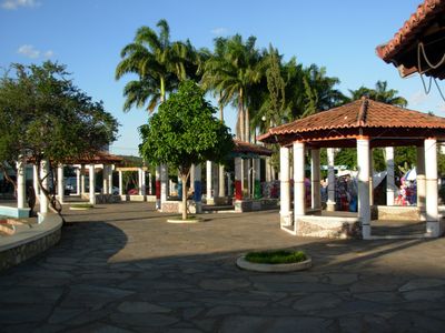
Brumado is a municipality in Bahia situated on mountainous terrain at an elevation of 398 meters. The area contains several neighborhoods with schools, a university campus, and local transportation networks that serve residents.
The municipality received official recognition on June 11, 1877, when it separated from Caetité through a project initiated by provincial deputy Marcolino Moura. This establishment reflected the growing independence of the region.
The annual celebrations of Saint Sebastian and Saint Peter draw together residents through regional music and traditional dances that define community life. These gatherings reflect how locals maintain connection with their inherited customs.
The municipality has schools and a university campus located within its boundaries, along with public transportation that connects various neighborhoods. These services make it relatively easy for visitors to move around and access local facilities.
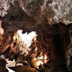
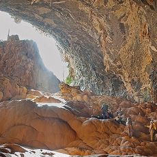
Known as the Capital of Ore, this place holds significant deposits of magnesite and talc minerals. These resources have sustained a stable mining industry that shapes the local economy.
Location: Bahia
Inception: June 11, 1877
Elevation above the sea: 398 m
Shares border with: Aracatu, Dom Basílio, Ituaçu, Lagoa Real, Livramento de Nossa Senhora, Maetinga, Malhada de Pedras, Presidente Jânio Quadros, Rio de Contas, Rio do Antônio, Tanhaçu
Website: http://brumado.ba.gov.br
GPS coordinates: -14.20389,-41.66500
Latest update: December 14, 2025 20:39
Gruta de Mangabeira
55.3 km
Gruta do Padre
34.6 kmPrimeira Prefeitura Velha
53.9 kmMatriz de Bom Jesus dos Meiras
126 mCemitério da Vila Jatobá
54.5 kmEdifício à Praça Alípio Ferreira, nº 316
53.9 kmCasa na Praça Jurecy Magalhães
19.8 kmCasa da Antiga Fazenda Bom Jesus
768 mAntiga Sede dos Correios
239 mEdifício à Rua Exupério Cangaçu, 332
518 mBarragem de Deposição
11.9 km
Historical Archive Municipal Memory of Brumado
264 mQuilombo Lagoa do Rocha
53.7 kmBrumado
2.7 kmAracatu
30.9 kmBacia de Sedimento da Usina de Tratamento
6.8 kmCristalândia
34.1 kmQuilombo Periperi
54.2 kmQuilombo Tucum
54.5 kmFazenda Pedrinhas
50.5 kmRiacho do Paulo
51.8 kmQuilombo Lagoinha
64 kmQuilombo Pajeú
62.5 kmCanabrava
62.2 kmLagoa do Braço
40.6 kmCatiboaba
6.4 kmQuilombo Lagoa da Lage
59.1 kmCreuzeiro
62.7 kmVisited this place? Tap the stars to rate it and share your experience / photos with the community! Try now! You can cancel it anytime.
Discover hidden gems everywhere you go!
From secret cafés to breathtaking viewpoints, skip the crowded tourist spots and find places that match your style. Our app makes it easy with voice search, smart filtering, route optimization, and insider tips from travelers worldwide. Download now for the complete mobile experience.
A unique approach to discovering new places❞
— Le Figaro
All the places worth exploring❞
— France Info
A tailor-made excursion in just a few clicks❞
— 20 Minutes