Enable Location

We need your location to show you interesting places around you

Discover nearby places

Find interesting locations and hidden gems around you

Precise directions

Get accurate directions and distances to places

Your location is never shared with other users. It's only used when you tap the location button.

Itamaraju

Log in to your account

Start exploring — it's free

Trusted by 61,994 travelers worldwide

Continue with Google
Continue with Apple
or

We will send you a code to connect

By continuing, you accept our Terms and Conditions and our Privacy Policy

Check your inbox

We've sent a pincode in your inbox. Please enter the code below.

Itamaraju, Administrative municipality in southern Bahia, Brazil

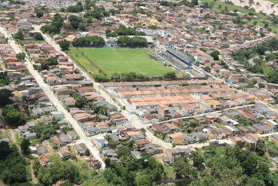
Itamaraju is a municipality in southern Bahia that spans a varied landscape in Brazil's northeastern region. The town sits at an elevation of around 180 meters and is shaped by the Jucurucu River that flows through the area.

The region gained attention when Portuguese explorer Pedro Álvares Cabral spotted Monte Pascoal near present-day Itamaraju in 1500. This moment marked an important point in early European exploration of the Brazilian coast.

The name Itamaraju comes from the Tupi language, where Ita means rock, Mara refers to woods, and Ju derives from the Jucurucu River. These words reflect the indigenous heritage that shaped the region before Portuguese settlement.

Access to the town is via regional roads that connect it to other communities in the area. Visitors can find local services here and explore the proximity to the Jucurucu River.

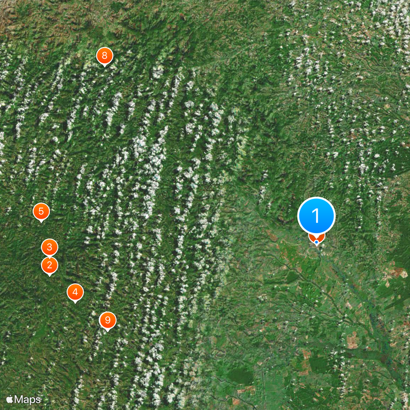
The area is marked by forests and river landscapes that provide habitats for diverse wildlife and plant life. These natural features make the region an interesting destination for those interested in nature.

The community of curious travelers

AroundUs brings together thousands of curated places, local tips, and hidden gems, enriched daily by 60,000 contributors worldwide.

Start exploring
Location
Elevation above the sea
181 m
Shares border with
Jucuruçu, Itabela, Guaratinga, Porto Seguro, Prado, Vereda
GPS coordinates
-17.03889,-39.53083
Latest update
December 20, 2025 15:55
« Itamaraju - Administrative municipality in southern Bahia, Brazil » is provided by Around Us (aroundus.com). Images and texts are derived from Wikimedia project under a Creative Commons license. You are allowed to copy, distribute, and modify copies of this page, under the conditions set by the license, as long as this note is clearly visible.

Discover hidden gems everywhere you go!

From secret cafés to breathtaking viewpoints, skip the crowded tourist spots and find places that match your style. Our app makes it easy with voice search, smart filtering, route optimization, and insider tips from travelers worldwide. Download now for the complete mobile experience.

Around Us App Screenshot

A unique approach to discovering new places

Le Figaro

All the places worth exploring

France Info

A tailor-made excursion in just a few clicks

20 Minutes

Around Us
Travel Guide & Maps
Download

Send to your phone

QR Code
1

Open the camera app on your mobile.

2

Point at the QR code with your camera. A notification will appear.

3

Tap the notification to open the link.