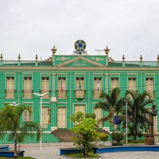
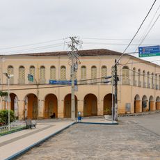
Ubaíra, Municipality in Bahia, Brazil
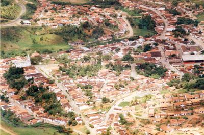
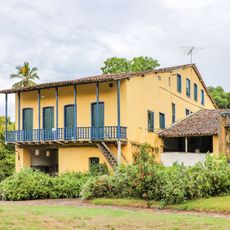
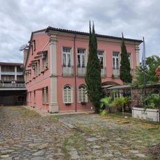
Ubaíra is a municipality located in the state of Bahia in northeastern Brazil on elevated terrain. The town sits on land that rises above the surrounding lowlands and forms part of the agricultural landscape of the region.
The municipality was established as an administrative division to support agricultural development in Bahia state and strengthen local governance in the region. It developed as part of the rural expansion of northeastern Brazil.
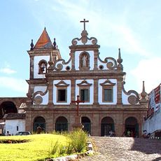
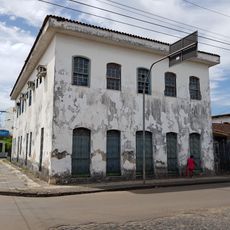
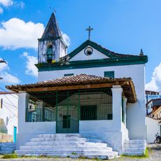
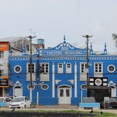
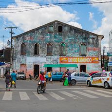
The town maintains northeastern traditions through local markets where artisans display handcrafted goods and regional food products. These everyday exchanges shape how residents connect with one another and their surroundings.
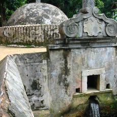
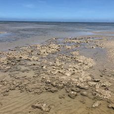
The area contains sections of a protected environmental zone that spans extensive land and shelters diverse wildlife and plant habitats. Visitors should be aware of trail conditions and the elevation when exploring the region.
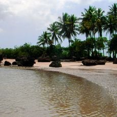
The area is known for its protected natural landscapes that serve as an important refuge for the biodiversity of the northeast. These conservation zones allow visitors to explore habitats that are otherwise difficult to find in the region.
The community of curious travelers
AroundUs brings together thousands of curated places, local tips, and hidden gems, enriched daily by 60,000 contributors worldwide.