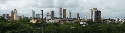
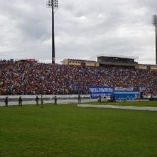
Itabuna, Commercial center in Bahia, Brazil
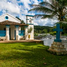
Itabuna sits in the southeastern part of Bahia along the banks of the Cachoeira, close to the coastal town of Ilhéus, at roughly 54 meters above sea level. The municipality extends over an area of about 401 square kilometers and counts around 214,000 residents, making it the sixth-largest in the state.
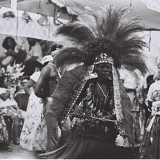
The settlement grew from Arraial de Tabocas, a forest crossing used by cattle drivers starting in 1857, and gained official city status in 1910. In the following decades it developed into a major hub for the cacao trade, until a fungal outbreak in the 1990s reshaped local farming entirely.
This city in southeastern Bahia takes its name from the Tupiniquim language, blending the words for stone and father to mark a notable rock formation along the river. That geographic marker remained a reference point for centuries, guiding travelers who crossed the region and later shaped the settlement.
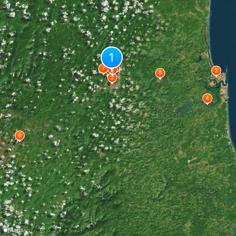
The city is accessible via well-maintained road links from the coast and the interior, with most lodging and services concentrated in the center. Those looking to explore the surroundings will find access to river landscapes and rural communities in the nearby region.
The area was once Brazil's second-largest cacao exporter until the fungus Crinipellis perniciosa devastated plantations in the 1990s, forcing the local economy to pivot. Today, abandoned farms and new crop ventures mark this turning point in the region's recent past.
The community of curious travelers
AroundUs brings together thousands of curated places, local tips, and hidden gems, enriched daily by 60,000 contributors worldwide.