Santo Antônio de Jesus, Commercial center in Bahia, Brazil
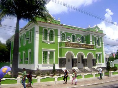
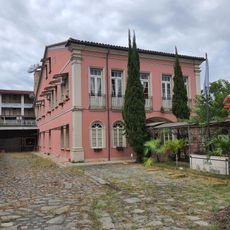
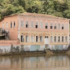
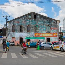
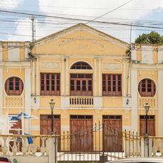
Santo Antônio de Jesus is an administrative center in Bahia with residential neighborhoods, shopping areas, and government buildings spread across sloping terrain. The city consists of streets lined with shops, markets, and public buildings that serve residents and passing travelers.
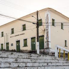
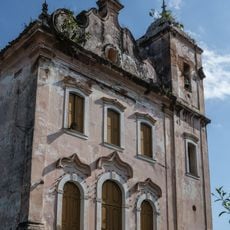
The municipality gained official status in 1880 and grew from a modest settlement into a regional trading hub over the following decades. This expansion was tied to the economic growth of the surrounding agricultural and commercial areas.
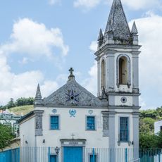
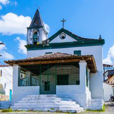
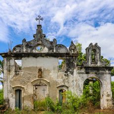
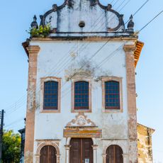
The city's patron saint festival draws residents and visitors into the streets each year for music, dancing, and meals made from regional recipes passed down through generations. These celebrations reveal how much the community values its religious roots and shared traditions.
Daily bus routes link the city to nearby Salvador and surrounding municipalities, departing from the central terminal throughout the day. Visitors should explore the main streets during daytime hours when shops and services are open and streets are busier.
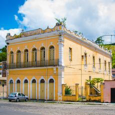
The trading streets feature colorful market stalls where farmers from surrounding areas sell their produce directly to shoppers. This direct link between countryside and city remains central to how the local economy functions.
The community of curious travelers
AroundUs brings together thousands of curated places, local tips, and hidden gems, enriched daily by 60,000 contributors worldwide.