Enable Location

We need your location to show you interesting places around you

Discover nearby places

Find interesting locations and hidden gems around you

Precise directions

Get accurate directions and distances to places

Your location is never shared with other users. It's only used when you tap the location button.

Irecê

Log in to your account

Start exploring — it's free

Trusted by 61,994 travelers worldwide

Continue with Google
Continue with Apple
or

We will send you a code to connect

By continuing, you accept our Terms and Conditions and our Privacy Policy

Check your inbox

We've sent a pincode in your inbox. Please enter the code below.

Irecê, Administrative municipality in northern Chapada Diamantina region, Brazil

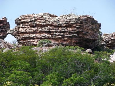
Irecê is a municipality in Bahia's Chapada Diamantina region, situated at 734 meters elevation across approximately 320 square kilometers. The city serves as the administrative and economic center for its surrounding area with various public facilities and services.

Irecê was founded as a municipality in the second half of the 20th century and developed as an economic center for the region. The city grew through agricultural production and became the administrative hub for surrounding settlements.

The Academia Ireceense de Letras e Artes functions as the central institution for literature and artistic expression, supporting local creative developments within the municipality.

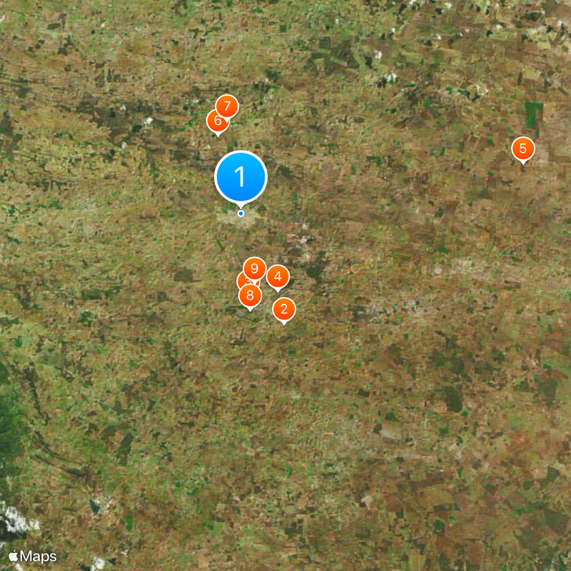
The city is accessible by regional roads through the Chapada Diamantina and offers basic services in the downtown area. Visitors can find accommodations, restaurants, and shops near the main plazas.

The region is known for producing black beans, which form a significant part of the local economy. The semi-arid climate creates warm days and cooler nights due to the elevation.

The community of curious travelers

AroundUs brings together thousands of curated places, local tips, and hidden gems, enriched daily by 60,000 contributors worldwide.

Start exploring
Location
Elevation above the sea
734 m
Shares border with
Lapão, São Gabriel, América Dourada, Ibititá, João Dourado, Presidente Dutra
GPS coordinates
-11.30389,-41.85583
Latest update
December 17, 2025 07:40
« Irecê - Administrative municipality in northern Chapada Diamantina region, Brazil » is provided by Around Us (aroundus.com). Images and texts are derived from Wikimedia project under a Creative Commons license. You are allowed to copy, distribute, and modify copies of this page, under the conditions set by the license, as long as this note is clearly visible.

Discover hidden gems everywhere you go!

From secret cafés to breathtaking viewpoints, skip the crowded tourist spots and find places that match your style. Our app makes it easy with voice search, smart filtering, route optimization, and insider tips from travelers worldwide. Download now for the complete mobile experience.

Around Us App Screenshot

A unique approach to discovering new places

Le Figaro

All the places worth exploring

France Info

A tailor-made excursion in just a few clicks

20 Minutes

Around Us
Travel Guide & Maps
Download

Send to your phone

QR Code
1

Open the camera app on your mobile.

2

Point at the QR code with your camera. A notification will appear.

3

Tap the notification to open the link.