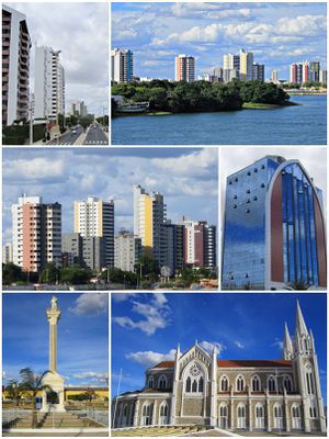
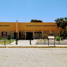
Petrolina, Agricultural center in Pernambuco, Brazil
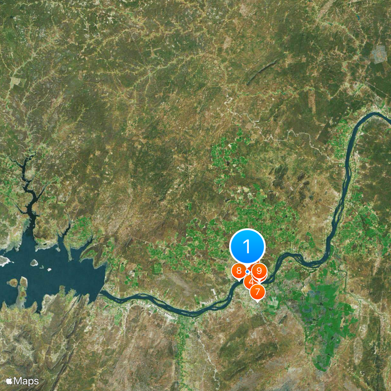
Petrolina sits on the left bank of the São Francisco River and borders the state of Bahia. The municipality covers urban areas and farmland that extend across broad sections of the Sertão.
The settlement began in 1870 near large rock formations and gradually grew from a small village into an agricultural center. Irrigation projects in the 20th century transformed the surrounding area into a major growing region for fruit and wine.
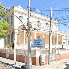
The stained glass windows imported from France in the neo-Gothic church Coração de Jesus show religious scenes that still resonate with local residents. The church interior preserves objects and ornaments that make local religious practice visible to visitors.
The municipal airport connects Petrolina to several Brazilian cities and offers regular flight services. Bus lines run daily to surrounding regional centers and allow overland travel within the Northeast.
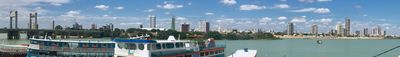
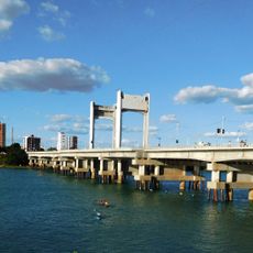
A modern bridge over the São Francisco River links Petrolina to the city of Juazeiro on the opposite bank. Together the two cities form a continuous urban space where thousands of people commute across the bridge daily.
The community of curious travelers
AroundUs brings together thousands of curated places, local tips, and hidden gems, enriched daily by 60,000 contributors worldwide.