Milagres, Municipality in Bahia, Brazil
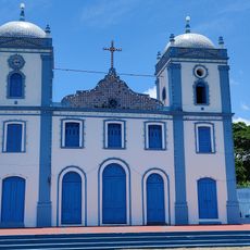
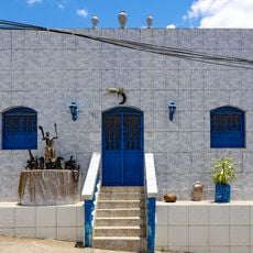
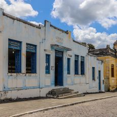
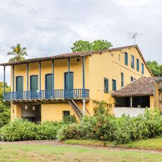
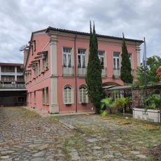
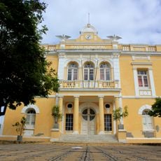
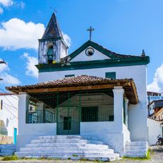
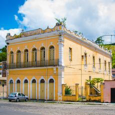
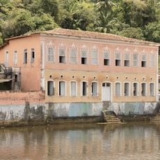
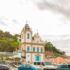
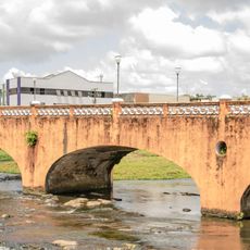
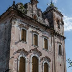
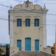
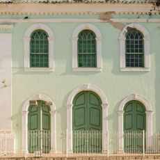
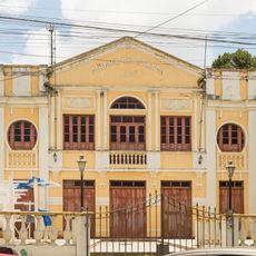
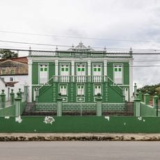
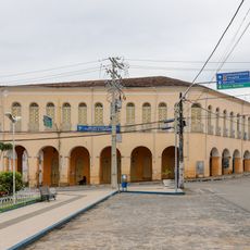
Milagres extends across 307 square kilometers of land in the state of Bahia, positioned at an elevation of 518 meters above sea level.
The establishment of Milagres as an official municipality occurred on December 22, 1961, marking a new administrative era in this region of Bahia.
The residents of Milagres, known as Milagrenses, maintain regular participation in public hearings and municipal decisions through active community engagement programs.
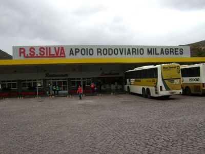
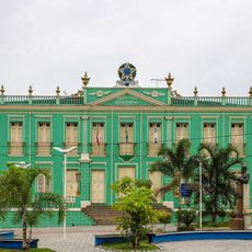
The municipal administration center operates from Rua Nova in the Cidade Nova district, providing essential services to its 11,434 residents through designated departments.
The municipality connects to major transportation routes through both BR-116 federal highway and BA-046 state road, facilitating access to seven neighboring municipalities.
Location: Bahia
Elevation above the sea: 518 m
Shares border with: Amargosa, Itatim, Brejões, Elísio Medrado, Iaçu, Nova Itarana, Santa Teresinha
Website: https://milagres.ba.gov.br
GPS coordinates: -12.87000,-39.85889
Latest update: March 22, 2025 22:43
Igreja de Nossa Senhora do Amparo
101.1 km
Parque Histórico Castro Alves
81.7 km
Terreiro Ilê Axé Ogunjá
99.8 km
Conjunto Urbanístico e Paisagístico da Cidade de São Félix
100.9 km
Engenho de Baixo
91.5 km
Igreja de Nossa Senhora de Nazaré de Camamú
94.3 km
Sobrado Alves e Almeida
65.6 km
Paço Municipal de São Félix
100.9 km
Chapel of Our Lady of the Conception
93.6 km
Sobrado à Travessa da Conceição, 1
93.6 km
Sobrado da Praça Arthur Sampaio
94.1 km
Monumento ao Aguadeiro
61.4 km
Capela de Santo António dos Índios
96.4 km
Igreja Matriz de Nossa Senhora de Nazaré
93.9 km
Igreja Matriz do Deus Menino
100.9 km
Ponte da Conceição
93.6 km
Parish Church of Saint Peter
98.3 km
Capela do Engenho Capanema
101.5 km
Igreja Matriz de Nossa Senhora Santana
95.9 km
Igreja Matriz de Nossa Senhora da Conceição
99.1 km
Igreja do Nosso Senhor do Bonfim
97.9 km
Capela do Senhor dos Aflitos
93.7 km
Cinema Rio Branco
93.9 km
Sobrado Barão Homem de Melo, 1
94 km
Filarmônica Erato Nazarena
94.3 km
Fonte da Pedreira do Império
93.5 km
Town Hall
93.9 km
Sobrado dos Arcos
94 kmReviews
Visited this place? Tap the stars to rate it and share your experience / photos with the community! Try now! You can cancel it anytime.
Discover hidden gems everywhere you go!
From secret cafés to breathtaking viewpoints, skip the crowded tourist spots and find places that match your style. Our app makes it easy with voice search, smart filtering, route optimization, and insider tips from travelers worldwide. Download now for the complete mobile experience.
A unique approach to discovering new places❞
— Le Figaro
All the places worth exploring❞
— France Info
A tailor-made excursion in just a few clicks❞
— 20 Minutes