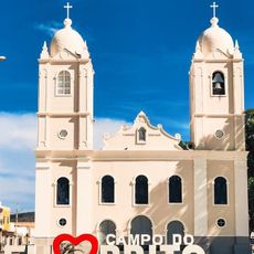
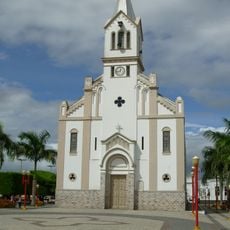
Lagarto, Municipality in Sergipe, Brazil
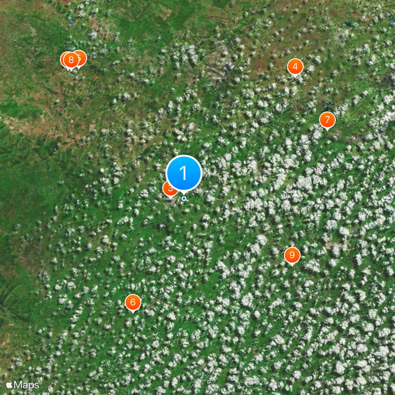
Lagarto is a city in Sergipe state in northeastern Brazil serving as a regional hub. It connects to nine neighboring municipalities and functions as an important commercial center for the area.
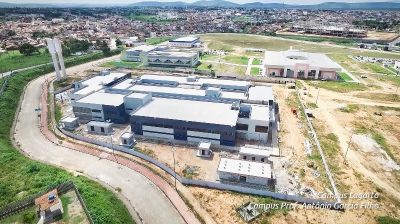
The settlement was founded in 1689 as a small community in the region. Over time it grew into a significant city serving as an administrative and commercial center for the state.
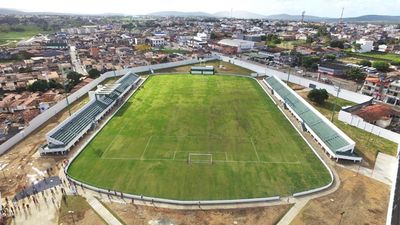
The local football club founded in the early 2000s brings together sports fans from the community. Residents gather to support the team during state championship matches throughout the year.
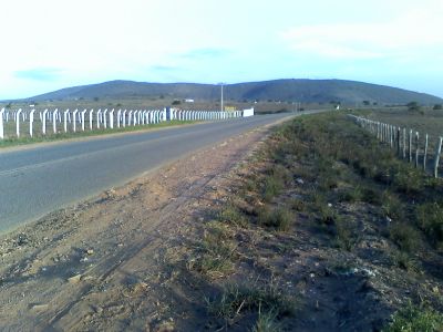
The city is surrounded by nine neighboring municipalities, making it easy to travel to nearby towns like Simão Dias and Boquim. Getting around the area is straightforward thanks to regional road connections linking the communities.
A professional footballer who began his career here went on to play in top European leagues. This connection to the city has inspired local youth and brought recognition to the region.
The community of curious travelers
AroundUs brings together thousands of curated places, local tips, and hidden gems, enriched daily by 60,000 contributors worldwide.