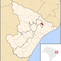
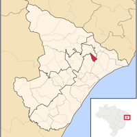
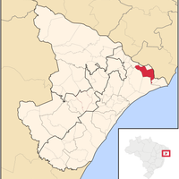
Sergipe, State division in northeastern Brazil
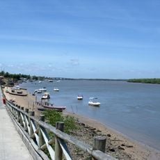
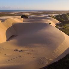
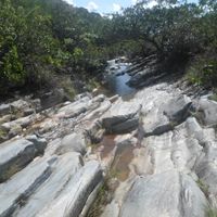
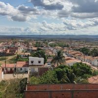
Sergipe is a Brazilian federal state on the Atlantic coast in the northeast of the country, positioned between the larger neighbors Bahia and Alagoas. The area extends from sea level to gentle hill country inland, with part of the coast lined by mangrove forests.
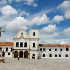
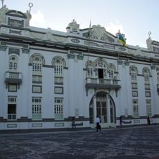
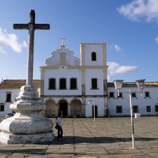
King John VI of Portugal separated this territory from the Captaincy of Bahia in 1820 and made it an independent province. The political separation marked the beginning of a new administrative structure that later became a federal state within the Brazilian republic.
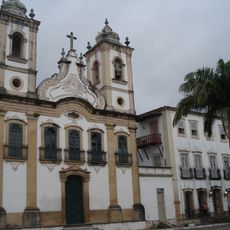
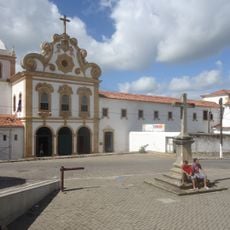
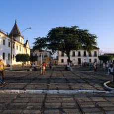
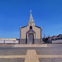
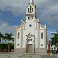
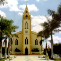
The name Sergipe comes from the Sergipe River and appears today in many everyday references, from street names to local dishes. Residents call themselves Sergipanos and maintain a kitchen strongly shaped by seafood and coconut-based recipes, especially in the immediate coastal zone.
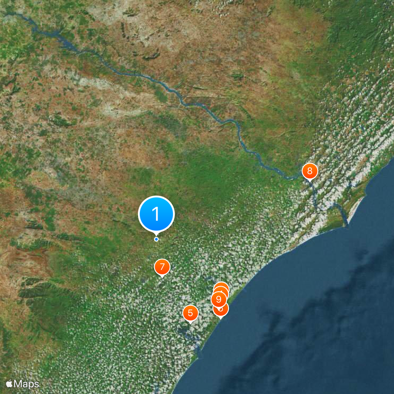
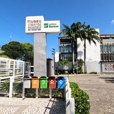
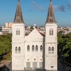
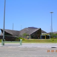
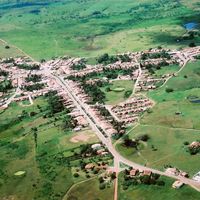
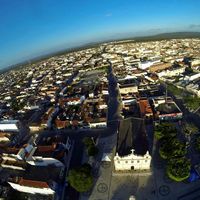
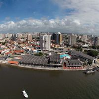
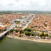
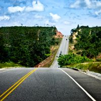
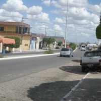
Visitors exploring the region should prioritize coastal roads, as they are more accessible than connections inland. Aracaju serves as a central starting point with good links to other parts of the state.
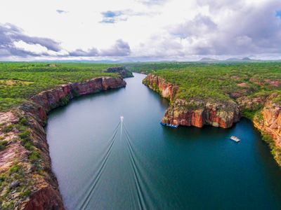
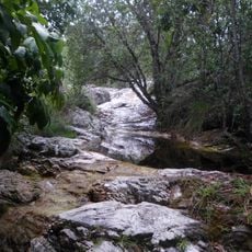
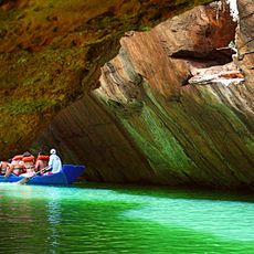
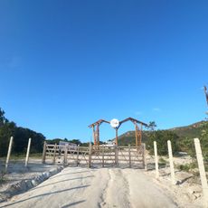
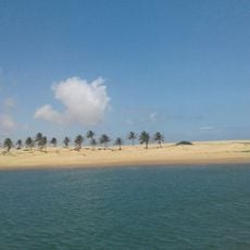
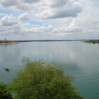
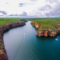
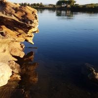
The São Francisco River forms the entire northern border of the state and separates it from Alagoas along a stretch exceeding 200 km (124 miles). This riverbank is often quieter and less visited than the well-known sandy beaches on the Atlantic coast.
The community of curious travelers
AroundUs brings together thousands of curated places, local tips, and hidden gems, enriched daily by 60,000 contributors worldwide.