Itaporanga d'Ajuda, Municipality in Sergipe, Brazil
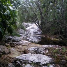
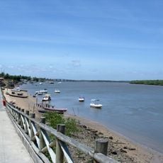
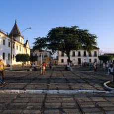
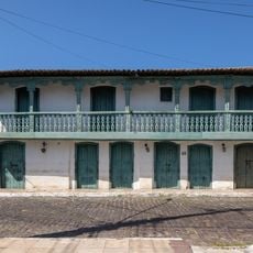
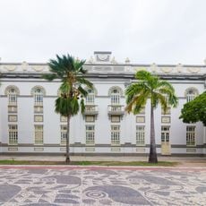
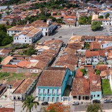
Itaporanga d'Ajuda is a municipality in northeastern Brazil's state of Sergipe, encompassing sections of Serra de Itabaiana National Park. The area spans varied landscapes with its main administrative hub located at Praça Getúlio Vargas.
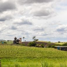
The municipality was founded in the early 18th century as a Portuguese colonial settlement focused on farming and livestock raising. This rural character shaped the region's development for many generations.
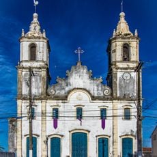
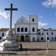
The name comes from the Tupi language, where 'ita' means stone and 'poranga' means beautiful, while d'Ajuda refers to Nossa Senhora da Ajuda. This linguistic blend reflects how indigenous and Portuguese traditions merged in the region.
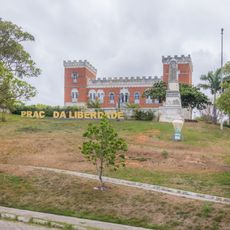
The best time to explore is during drier months when paths through different parts become easier to navigate. The main plaza serves as a good orientation point and starting place for discovering the surrounding areas.
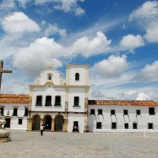
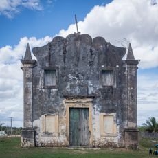
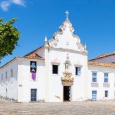
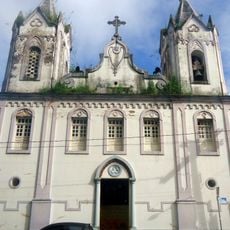
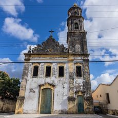
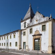
A chapel from a former sugar plantation is considered one of the earliest documented Jesuit settlement sites in the country. This historic location shows the religious and economic role such plantations played in early colonial times.
GPS coordinates: -10.99617,-37.30458
Latest update: December 7, 2025 20:45
São Francisco Square in the Town of São Cristóvão
11 km
Serra de Itabaiana National Park
24.7 km
Mosqueiro Beach
24.5 km
Parish Church of Our Lady of Victory
10.8 km
Monument to Nationality Trainers, Aracaju
25.4 km
Misericórdia Hospital and Church
11 km
Church and Convent of Santa Cruz
11 km
Chapel of Our Lady of the Conception of Engenho Poxim
13.7 km
Sobrado à Rua das Flores
11 km
Fachadas Revestidas de Azulejos Portugueses--Rua Capitão Salomão nº. 67
33.8 km
Antigo Farol de Aracaju
27.4 km
Capela do Antigo Engenho Jesus, Maria e José
19.4 km
Igreja da Ordem Terceira do Carmo (São Cristóvão)
10.9 km
Museu Historico de Sergipe
11 km
Church and Convent of Mount Carmel
10.9 km
Sobrado à Rua Castro Alves, 2
11 km
Sobrado at Rua da Matriz
10.9 km
Cristo Redentor
12.3 km
Igreja de Nossa Senhora do Rosário
34.1 km
Penitenciária Modelo (Aracaju)
26.1 km
Church of Our Lady of Protection of the Mulattoes
11 km
Igreja e Casa da Misericórdia
11.1 km
Government of Sergipe
26.1 km
Architectural, Urban and Landscape Set of São Cristóvão
11 km
Crab on Atalaia's shore
27.5 km
Casa do Folclore "Zeca de Norberto"
11 km
Museu dos Ex-votos de Sergipe
11.6 km
Rua Messias Prado, 20
10.9 kmVisited this place? Tap the stars to rate it and share your experience / photos with the community! Try now! You can cancel it anytime.
Discover hidden gems everywhere you go!
From secret cafés to breathtaking viewpoints, skip the crowded tourist spots and find places that match your style. Our app makes it easy with voice search, smart filtering, route optimization, and insider tips from travelers worldwide. Download now for the complete mobile experience.
A unique approach to discovering new places❞
— Le Figaro
All the places worth exploring❞
— France Info
A tailor-made excursion in just a few clicks❞
— 20 Minutes