Serra de Itabaiana National Park, National park in Sergipe, Brazil
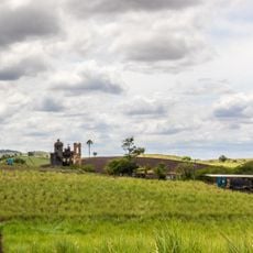
Serra de Itabaiana National Park covers about 8,000 hectares of Atlantic Forest and Caatinga across six municipalities in Sergipe. Its best-known spots are the Poço das Moças, the Gruta da Serra cave, the Via Sacra, the Caldeirão, the Parque dos Falcões and the 659-metre summit, Sergipe's second-highest point.
The area began as an Ecological Station with limited territory before being converted into a national park. This transformation led to a major expansion of the protected land area.
The park's best-known spots carry popular names: Poço das Moças, a natural pool, the Gruta da Serra cave, the Via Sacra, the Caldeirão and the Parque dos Falcões. The 659-metre summit is Sergipe's second-highest point, and entry is free, so these places are visited by local groups and travellers from Aracaju, about 38 km away.
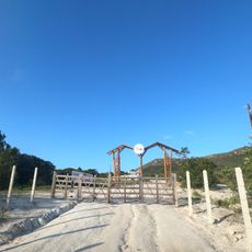
The park is accessible by the BR-235 highway with a gravel road leading to main attractions. Plan time for extended hiking since trails vary in difficulty and the terrain changes throughout the area.
A 2020 study in the Brazilian Journal of Geology dated the Serra de Itabaiana rocks at about 2.831 billion years old. The article was located in May 2025 by the Instagram project "Itabaiana em Retratos", which tracks the history of Itabaiana. The park also protects the lizard Cnemidophorus abaetensis.
The community of curious travelers
AroundUs brings together thousands of curated places, local tips, and hidden gems, enriched daily by 93,011 contributors worldwide.