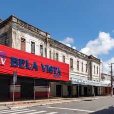
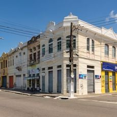
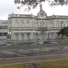
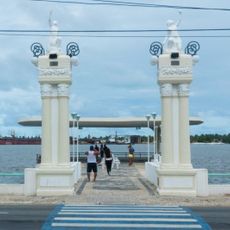
Barra dos Coqueiros, Coastal municipality in Sergipe, Brazil
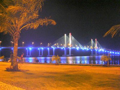
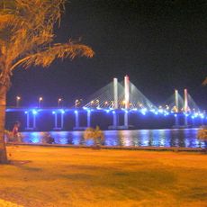
Barra dos Coqueiros is a coastal municipality in Sergipe that stretches along the Atlantic Ocean and is characterized by coconut palm groves. The area features sandy beaches, flat terrain, and densely vegetated shoreline.
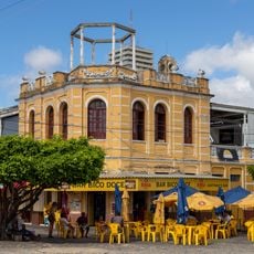
The place received its name from the abundant coconut palms that line its shore. The municipality was established in 1953 and developed into an important settlement in the region.
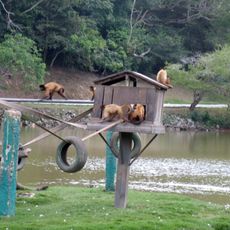
The community celebrates Arraiá da Barra with regional music, dance performances, and traditional Brazilian food that define local gatherings.
Visitors can easily access beaches and coastal areas on foot or by car. The best times to visit are during warmer months when weather is more stable.
The area is home to a wind farm with multiple installations that generate clean power for the country. This facility shows the growing role of renewable energy in Brazil's electricity supply.
The community of curious travelers
AroundUs brings together thousands of curated places, local tips, and hidden gems, enriched daily by 60,000 contributors worldwide.