Nossa Senhora do Socorro, Administrative municipality in Sergipe, Brazil
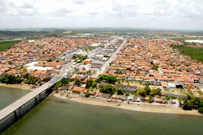
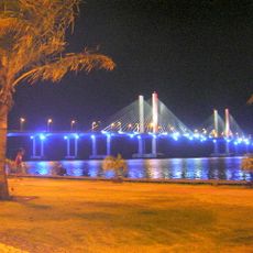
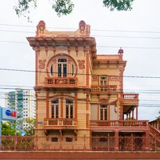
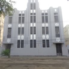
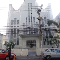
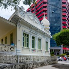
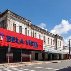
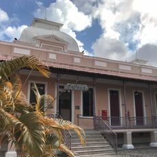
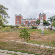
Nossa Senhora do Socorro is a municipality located in Sergipe state in northeastern Brazil. The town sits near Aracaju on relatively flat terrain with modern commercial and residential areas.
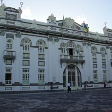
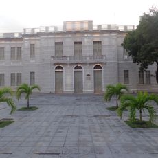
The municipality was founded on January 1, 1868, establishing its role as an administrative center in Sergipe. Its development has been shaped by the region's gradual growth and urban expansion.
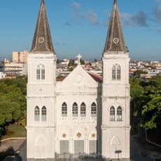
The town connects to Brazilian traditions through local celebrations and community events throughout the year. People shape the character of this place through their everyday activities and social gatherings.
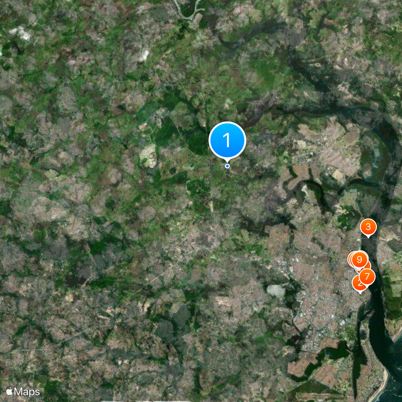
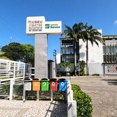
The town center is easily accessible from Aracaju by regular bus services. Visitors will find shops, restaurants, banks, and other services throughout the area.
The area contains several shopping centers that serve as busy commercial hubs. These spaces operate throughout the day and have become central to local commerce and leisure.
The community of curious travelers
AroundUs brings together thousands of curated places, local tips, and hidden gems, enriched daily by 60,000 contributors worldwide.