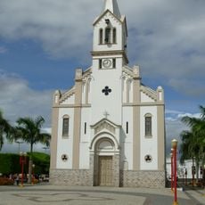
Tobias Barreto, Municipality in Sergipe, Brazil.
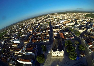
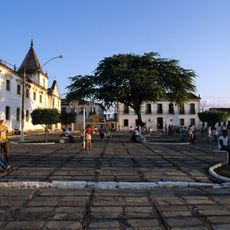
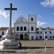
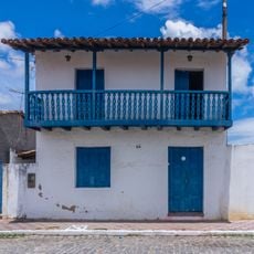
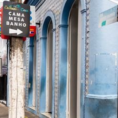
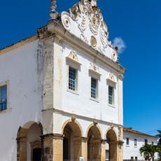
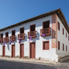
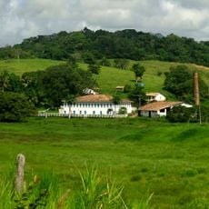
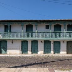
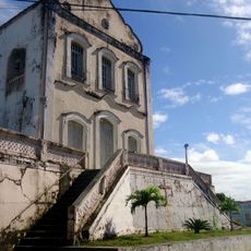
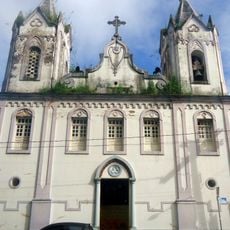
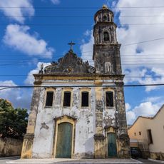
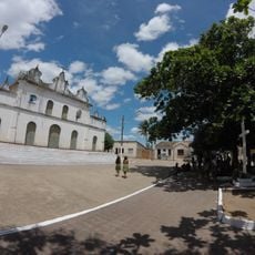
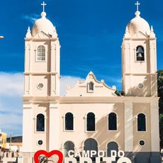
Tobias Barreto is a municipality in northeastern Sergipe that spreads across rural landscapes with mixed agricultural and small industrial activities. The municipal center serves as the economic and social hub for the local population in this region.
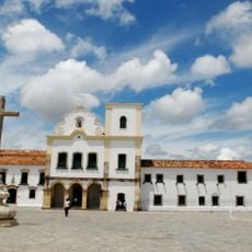
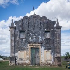
The area was originally known as Vila de Campos do Rio Real and received its current name in 1909 to honor the Brazilian poet and philosopher Tobias Barreto de Menezes. This renaming marked a cultural shift for the community.
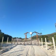
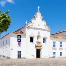
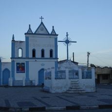
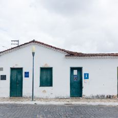
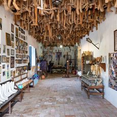
The town maintains strong ties to regional traditions through regular community celebrations that showcase local music and agricultural practices. These gatherings reflect how residents keep their customs and roots alive in everyday life.
The municipal center sits in a relatively isolated area far from the larger urban centers of Sergipe, meaning visitors should plan for longer travel times. It helps to familiarize yourself with local transportation options and accommodation choices before visiting.
The name Tobias Barreto is more than just a label – it honors a significant Brazilian intellectual whose legacy shaped the region's identity. This connection to a literary and philosophical figure gives the town a cultural depth that extends beyond its rural setting.
The community of curious travelers
AroundUs brings together thousands of curated places, local tips, and hidden gems, enriched daily by 60,000 contributors worldwide.