Itabaiana, Administrative division in Sergipe, Brazil.
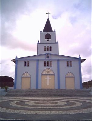
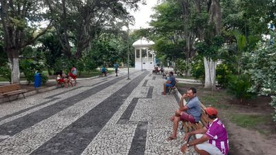
Itabaiana is a municipality in the Agreste region of Sergipe in northeastern Brazil. The town center sits in hilly terrain and combines traditional settlement patterns with newer residential areas.
The municipality was founded in 1675 and grew from a small settlement into a regional administrative center. Over time the town expanded through trade and agricultural activity in the surrounding area.
The town center features a local museum displaying regional craftwork and historical documents that reflect community life over time. These collections show how people here have worked and created through the centuries.
The town connects to larger centers through road networks and is best explored on foot or by local transport. The hilly terrain means some routes are steeper, so plan accordingly for walking around.
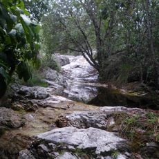
A portion of Serra de Itabaiana National Park extends across the municipality and offers trails through forested hills. The elevation gives this protected area a different climate from the flatter surrounding region.
The community of curious travelers
AroundUs brings together thousands of curated places, local tips, and hidden gems, enriched daily by 60,000 contributors worldwide.