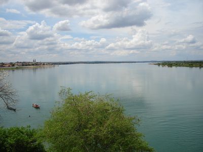
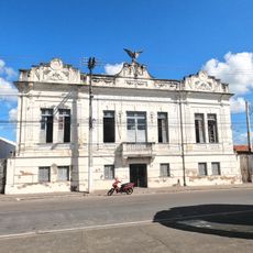
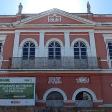
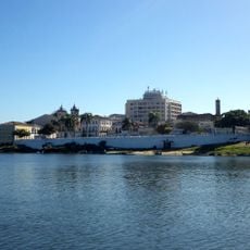
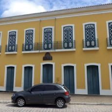
Propriá, Municipality near São Francisco River in Sergipe, Brazil
Propriá is a municipality situated along the São Francisco River in Sergipe, spreading across elevated ground with residential areas overlooking the water. The town centers on the riverside zone, where fishing and farming activities structure the local economy and daily life.
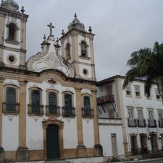
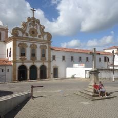
The settlement began as a trading post in the late 1800s, quickly becoming an important hub for commerce along the river and connecting inland regions. This early role shaped how the community developed its economy around river trade and connections.
Fishing traditions form the heart of life here, visible in local celebrations where people gather to eat regional dishes and listen to traditional music. This connection to the river shapes how the community comes together and passes its customs down through generations.
The town is reached via regional highways connecting major Sergipe cities, with regular buses departing from the central terminal throughout the day. The best time to visit is during the dry season, when travel conditions are easiest and the riverside activities are most accessible.
The weekly market brings river fishermen and farmers together in one place, creating a real gathering where fresh catches and local crops trade hands daily. Visitors can watch the direct exchange between producers and buyers without middlemen involved.
The community of curious travelers
AroundUs brings together thousands of curated places, local tips, and hidden gems, enriched daily by 60,000 contributors worldwide.