Poço Redondo, Municipality in Sergipe, Brazil
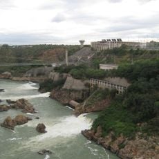
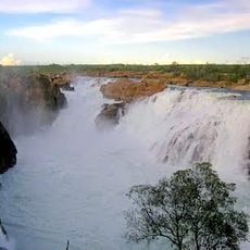
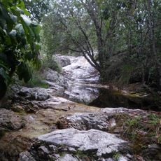
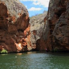
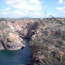
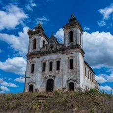
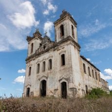
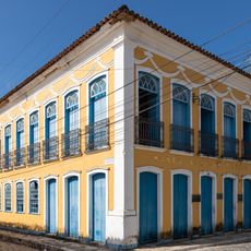
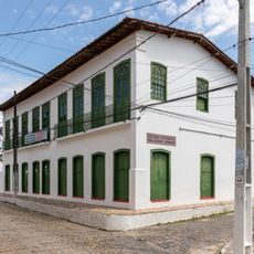
Poço Redondo is a municipality in the northeastern state of Sergipe, stretching across a large area in this region of Brazil. The landscape is shaped by the semi-arid conditions of the sertão, which influence how the land looks and how people live there.
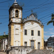
The municipality was founded in 1953 as part of efforts to organize the administrative divisions of Sergipe. This establishment reflected broader changes in how Brazil's northeast was administratively structured during that period.
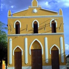
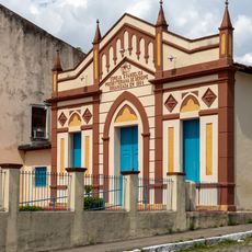
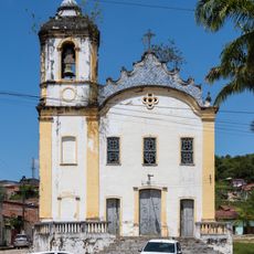
The people here keep alive the traditions of Brazil's northeast through local festivals and community gatherings that happen throughout the year. These customs shape daily life and create strong bonds among residents.
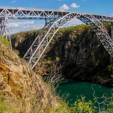
The area sits at an elevation of about 188 meters and features the semi-arid climate typical of the sertão region. Visitors should prepare for warm conditions and limited rainfall, particularly during the drier months.
The area is one of the larger municipalities in Sergipe and demonstrates the diversity of Brazil's northeast through its varied landscapes. This size makes it an interesting place to understand the different environmental conditions of the sertão.
The community of curious travelers
AroundUs brings together thousands of curated places, local tips, and hidden gems, enriched daily by 60,000 contributors worldwide.