Redenção, Municipality in southern Pará, Brazil.
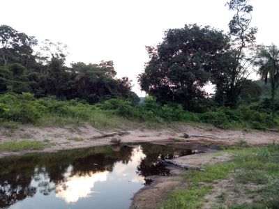
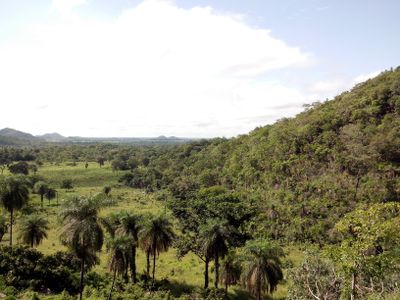
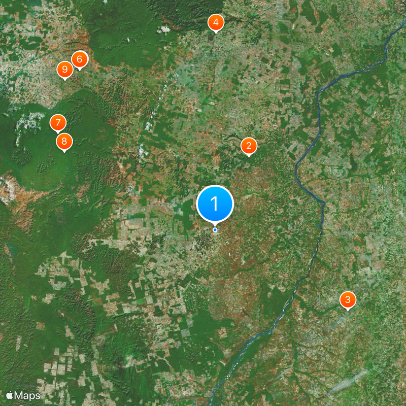
The municipality of Redenção spans across 3,823 square kilometers of land with an elevation of 271 meters above sea level in northern Brazil.
Redenção was established in 1972 by founders Adhemar Guimarães, Luis Vargas Dumont, and Waltercio Sacramento Villas Boas during Brazil's military governance period.
The population of 85,563 residents includes people from various Brazilian states such as Minas Gerais, Paraná, and Goiás, alongside Kayapó indigenous communities.
The city maintains connections through an airport and road infrastructure, operating under UTC-3 time zone with the area code 94.
The three main rivers - Salobro, Pau d'Arco, and Arraias - define the hydrography of this municipality with a tropical semi-humid climate.
Location: Pará
Elevation above the sea: 271 m
Shares border with: Bannach, Conceição do Araguaia, Cumaru do Norte, Floresta do Araguaia, Pau D'Arco, Santa Maria das Barreiras
Website: http://citybrazil.uol.com.br/pa/redencao
GPS coordinates: -8.02889,-50.03083
Latest update: May 27, 2025 06:47
Jalapão
408.3 km
Chapada das Mesas National Park
338.2 km
Marabá Combined Bridge
319.9 km
Poço Azul
404.7 km
Cantão State Park
185 km
Araguaia Palace
303.9 km
Araguaia National Park
275.5 km
Pedra Caida
305.9 km
Carajás National Forest
219.9 km
Estádio Municipal Zinho de Oliveira
313.9 km
Museu Histórico do Tocantins
305.4 km
Monumento das Castanheiras Mortas
230.1 km
Lajeado State Park
302.8 km
Serra do Pardo National Park
403.3 km
Ponte Juscelino Kubitschek de Oliveira
327.6 km
São Geraldo do Araguaia Environmental Protection Area
255.9 km
Puente Ferroviario de Estreito MA
327.7 km
Cathedral of the Divine Holy Spirit in Palmas
304.2 km
Tapirapé Biological Reserve
278.9 km
Encanto Azul
408.7 km
Xingu State Park
345.2 km
Ilha do Bananal / Cantão Environmental Protection Area
189.4 km
Serra dos Martírios/Andorinhas State Park
267.8 km
Biblioteca Pública Municipal Orlando Lima Lobo
314 km
Cajàzeira River
342.7 km
Cânion do Sussuapara
407.3 km
Catedral Nossa Senhora das Mercês
346.9 km
Seminário São José
346.9 kmReviews
Visited this place? Tap the stars to rate it and share your experience / photos with the community! Try now! You can cancel it anytime.
Discover hidden gems everywhere you go!
From secret cafés to breathtaking viewpoints, skip the crowded tourist spots and find places that match your style. Our app makes it easy with voice search, smart filtering, route optimization, and insider tips from travelers worldwide. Download now for the complete mobile experience.
A unique approach to discovering new places❞
— Le Figaro
All the places worth exploring❞
— France Info
A tailor-made excursion in just a few clicks❞
— 20 Minutes