Enable Location

We need your location to show you interesting places around you

Discover nearby places

Find interesting locations and hidden gems around you

Precise directions

Get accurate directions and distances to places

Your location is never shared with other users. It's only used when you tap the location button.

Crateús

Log in to your account

Start exploring — it's free

Trusted by 62,033 travelers worldwide

Continue with Google
Continue with Apple
or

We will send you a code to connect

By continuing, you accept our Terms and Conditions and our Privacy Policy

Check your inbox

We've sent a pincode in your inbox. Please enter the code below.

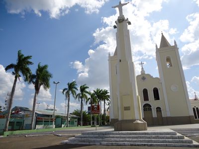
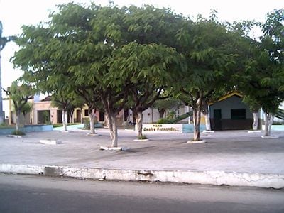
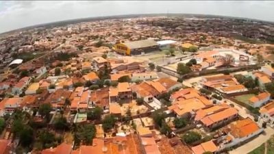
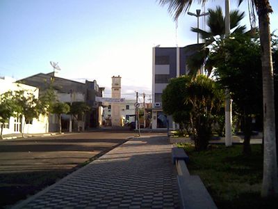
Crateús, Administrative center in northwestern Ceará, Brazil

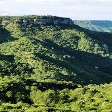
Crateús is a municipality in northwestern Ceará, stretching across a large area shaped by the Poti River. The Serra Grande mountain range forms a natural boundary and adds to the region's varied landscape.

The settlement began in the 17th century when Portuguese colonizers moved into areas previously inhabited by indigenous Kariri people. This early period of contact shaped how the region developed and its lasting heritage.

The name Crateús comes from the Kariri language, showing how local traditions remain connected to indigenous roots. People here keep this heritage alive through their daily customs and way of life.

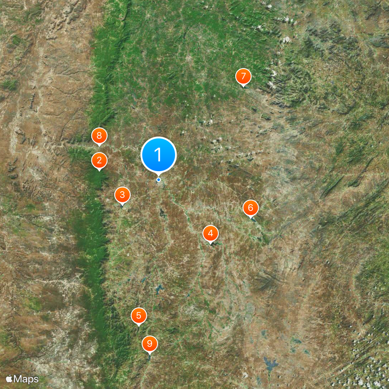
Dr. Lúcio Lima Airport connects the area to other regions and makes traveling here easier. The large size of this municipality means you should allow time to explore its different areas.

A private nature reserve called Serra das Almas protects native plant areas and is an important place for rare animal and plant species. Those interested in nature can find habitats there that are hard to see elsewhere in this form.

The community of curious travelers

AroundUs brings together thousands of curated places, local tips, and hidden gems, enriched daily by 60,000 contributors worldwide.

Start exploring
Location
Elevation above the sea
274 m
Shares border with
Poranga, Buriti dos Montes, Independência, Ipaporanga, Novo Oriente, São Miguel do Tapuio, Tamboril
GPS coordinates
-5.17778,-40.67778
Latest update
December 17, 2025 08:14
« Crateús - Administrative center in northwestern Ceará, Brazil » is provided by Around Us (aroundus.com). Images and texts are derived from Wikimedia project under a Creative Commons license. You are allowed to copy, distribute, and modify copies of this page, under the conditions set by the license, as long as this note is clearly visible.

Discover hidden gems everywhere you go!

From secret cafés to breathtaking viewpoints, skip the crowded tourist spots and find places that match your style. Our app makes it easy with voice search, smart filtering, route optimization, and insider tips from travelers worldwide. Download now for the complete mobile experience.

Around Us App Screenshot

A unique approach to discovering new places

Le Figaro

All the places worth exploring

France Info

A tailor-made excursion in just a few clicks

20 Minutes

Around Us
Travel Guide & Maps
Download

Send to your phone

QR Code
1

Open the camera app on your mobile.

2

Point at the QR code with your camera. A notification will appear.

3

Tap the notification to open the link.