
Mato Grosso, municipality of Brazil
Location: Paraíba
Elevation above the sea: 210 m
Shares border with: Catolé do Rocha, Jericó, Lagoa, Paulista, Riacho dos Cavalos
Website: http://matogrosso.pb.gov.br
GPS coordinates: -6.53389,-37.72500
Latest update: March 6, 2025 22:31
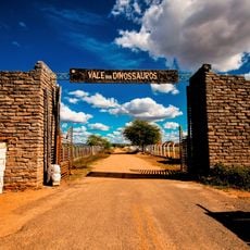
Vale dos Dinossauros
61.4 km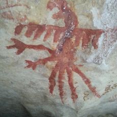
Lajedo de Soledade
105.9 km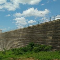
Santa Cruz Dam
85.9 km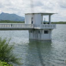
Açude Itans
75.9 km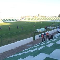
Estádio Antônio Mariz
60.4 km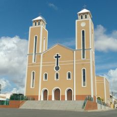
Mother Church of the Immaculate Conception
70.9 km
BINGO
82.6 km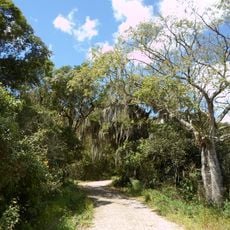
Pico do Jabre State Park
88.4 km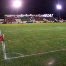
Estádio José Cavalcanti
72.5 km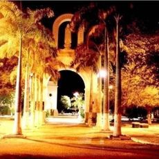
St. Ann Cathedral, Caicó
70.4 km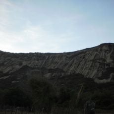
Serra do Lima
48.7 km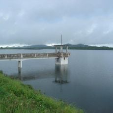
Açude Engenheiro Arcoverde
44.7 km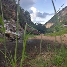
Apertados Canyon
138.6 km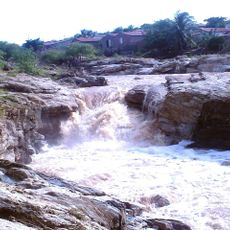
Açude Santa Luzia
96.8 km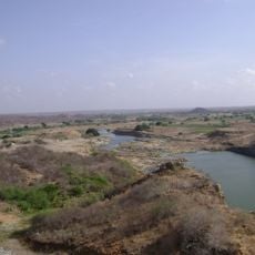
Castanhão Ecological Station
133.9 km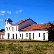
Casa, Capela e Sobrado da Fazenda Acauã
51.2 km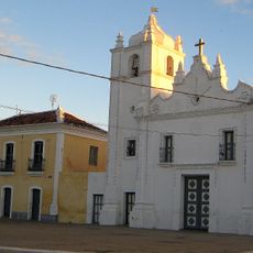
Casa do Barão do Crato
126.8 km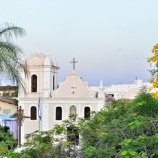
Igreja de Nossa Senhora do Rosário e Cruzeiro do Adro
27.7 km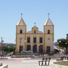
Church of Our Lady of Sorrows
139.3 km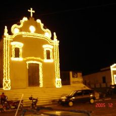
Church of Our Lady of the Rosary
120.6 km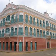
Cine Teatro Guarany
151.1 km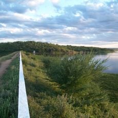
Açude Sumé
155 km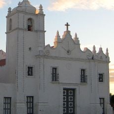
Igreja do Senhor do Bonfim
126.8 km
Teatro da Ribeira dos Icós
126.8 km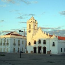
Igreja de Nossa Senhora da Expectação
126.7 km
Casa de Câmara e Cadeia
126.7 km
Catedral de Nossa Senhora da Piedade
100.1 km
Igreja de Nossa Senhora do Desterro
28.7 kmReviews
Visited this place? Tap the stars to rate it and share your experience / photos with the community! Try now! You can cancel it anytime.
Discover hidden gems everywhere you go!
From secret cafés to breathtaking viewpoints, skip the crowded tourist spots and find places that match your style. Our app makes it easy with voice search, smart filtering, route optimization, and insider tips from travelers worldwide. Download now for the complete mobile experience.

A unique approach to discovering new places❞
— Le Figaro
All the places worth exploring❞
— France Info
A tailor-made excursion in just a few clicks❞
— 20 Minutes