Enable Location

We need your location to show you interesting places around you

Discover nearby places

Find interesting locations and hidden gems around you

Precise directions

Get accurate directions and distances to places

Your location is never shared with other users. It's only used when you tap the location button.

Patos

Log in to your account

Start exploring — it's free

Trusted by 62,031 travelers worldwide

Continue with Google
Continue with Apple
or

We will send you a code to connect

By continuing, you accept our Terms and Conditions and our Privacy Policy

Check your inbox

We've sent a pincode in your inbox. Please enter the code below.

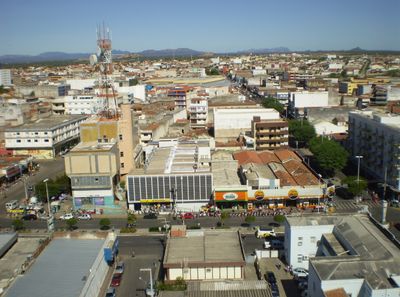
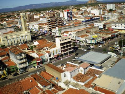
Patos, Commercial center in Paraíba, Brazil

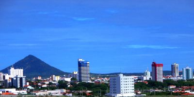
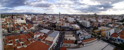
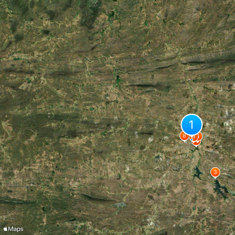
Patos sits in the Espinharas River valley at 242 meters elevation, framed by the Borborema Plateau and the Sertanejo pediplain in northeastern Brazil. The town spreads between low vegetation and scattered tree clusters that reflect the dry climate of the region.

The settlement began in 1788 as part of the Parish of Nossa Senhora do Bom Sucesso de Pombal and developed into a trading post for surrounding farms. In 1903 it gained status as an independent municipality.

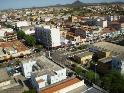
The name comes from the wild ducks that once lived along the river, while today the town serves as a regional trading hub with markets and shops. Residents gather in public squares where life concentrates in the evening.

The BR-230 highway links the town with larger settlements in the region, while Brigadeiro Firmino Ayres Airport offers flights to nearby destinations. Streets in the center are busy during the day and quieter at night.

The climate is tropical hot semi-arid with three rainy months between February and April, while the remaining nine months stay dry. This pattern shapes the look of the landscape and the rhythm of daily life.

The community of curious travelers

AroundUs brings together thousands of curated places, local tips, and hidden gems, enriched daily by 60,000 contributors worldwide.

Start exploring
Location
Inception
1903
Elevation above the sea
242 m
Shares border with
Quixabá, Cacimba de Areia, Catingueira, Condado, Malta, Santa Teresinha, São José de Espinharas, São José do Bonfim, São Mamede
GPS coordinates
-7.02444,-37.28000
Latest update
December 13, 2025 18:39
« Patos - Commercial center in Paraíba, Brazil » is provided by Around Us (aroundus.com). Images and texts are derived from Wikimedia project under a Creative Commons license. You are allowed to copy, distribute, and modify copies of this page, under the conditions set by the license, as long as this note is clearly visible.

Discover hidden gems everywhere you go!

From secret cafés to breathtaking viewpoints, skip the crowded tourist spots and find places that match your style. Our app makes it easy with voice search, smart filtering, route optimization, and insider tips from travelers worldwide. Download now for the complete mobile experience.

Around Us App Screenshot

A unique approach to discovering new places

Le Figaro

All the places worth exploring

France Info

A tailor-made excursion in just a few clicks

20 Minutes

Around Us
Travel Guide & Maps
Download

Send to your phone

QR Code
1

Open the camera app on your mobile.

2

Point at the QR code with your camera. A notification will appear.

3

Tap the notification to open the link.