26th parallel south, circle of latitude
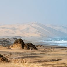
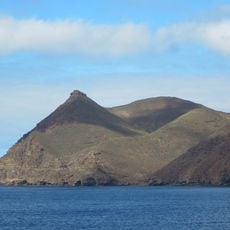
The 26th parallel south is an imaginary line circling the Earth at 26 degrees south of the equator, crossing multiple countries in Africa, Australia, and South America. It passes through diverse landscapes including deserts and savannas in Africa, open plains in South America, and flat regions with sparse forests in Australia.
The 26th parallel south has served historically as a reference point for navigation and exploration by sailors and explorers crossing oceans and continents. In Australia, this line defines borders between states and territories, with some sections showing irregularities due to early surveying methods and measurement limitations.
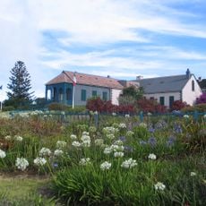
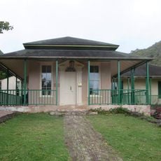
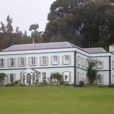
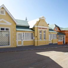
The 26th parallel south passes through regions where local communities have adapted to warm climates and developed distinct ways of life. Indigenous groups in Australia and communities across Africa and South America maintain deep connections to the landscapes this line crosses.
This line is not marked by physical monuments or signs in most locations, appearing instead on maps and geographic references. Many areas along this parallel are remote and sparsely populated, particularly in Africa and Australia, so visitors should plan accordingly for travel to these regions.
At Surveyor Generals Corner in Australia, the borders of Western Australia, Northern Territory, and South Australia converge at a point that exists due to historical surveying uncertainties. This location demonstrates how early measurement methods created geographic oddities that persist on modern maps.
The community of curious travelers
AroundUs brings together thousands of curated places, local tips, and hidden gems, enriched daily by 60,000 contributors worldwide.