Mozambique, Republic in Southeast Africa.
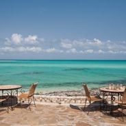
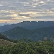
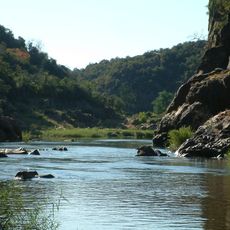
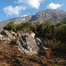
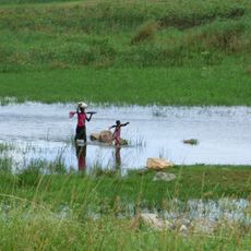
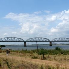
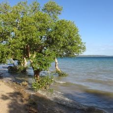
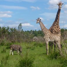
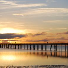
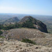
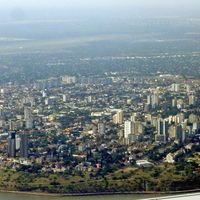
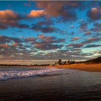
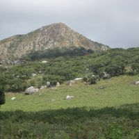
Mozambique is a republic in southeastern Africa extending 2,500 kilometers (1,550 miles) along the Indian Ocean coastline, covering landscapes from savannas and mountain ranges to wide river systems. The Zambezi flows through the territory and shapes geographic patterns plus varied ecosystems, while coastal zones show mangrove forests and coral reefs and inland regions hold plateaus and agricultural areas across multiple climate types.
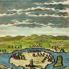
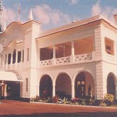
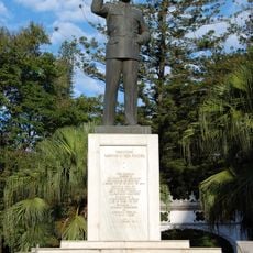
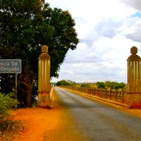
Arab traders founded coastal settlements during medieval times for gold and ivory trade. Portugal colonized the territory from the 16th century and held control until independence in 1975, after which civil war from 1977 to 1992 caused severe economic and social damage before peace agreements began a reconstruction phase.
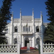
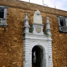
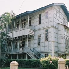
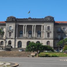
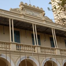
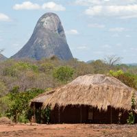
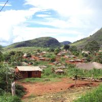
More than 40 ethnic groups shape daily life through traditional music, dance and crafts at community gatherings. Portuguese colonial influence mixes with African traditions in architecture, food and worship, while Makonde wood carvings and contemporary painting express a distinct artistic identity.
The national currency is the metical, though US dollars are widely accepted in tourist areas. The dry season from May to October offers more comfortable travel conditions for coastal regions and parks, while visas for many nationalities can be obtained on arrival at international airports.
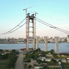
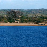
The Cahora Bassa Dam on the Zambezi ranks among Africa's largest hydroelectric facilities, generating power for regional consumption and neighboring countries. The reservoir behind the dam wall extends 270 kilometers (168 miles) and has altered local ecosystems and settlement patterns since its completion in the mid-1970s.
The community of curious travelers
AroundUs brings together thousands of curated places, local tips, and hidden gems, enriched daily by 60,000 contributors worldwide.