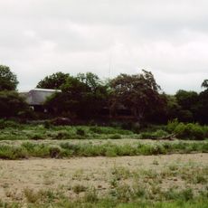
Banhine National Park, National park in Gaza Province, Mozambique
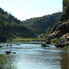
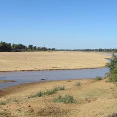
Banhine National Park is a 7,250-square-kilometre protected area in northern Gaza Province, Mozambique, split between Chicualacuala, Chigubo and Mabalane districts. It holds inland wetlands and more than a thousand pans, from a few square metres to hundreds of hectares, some salty and some drinkable. Water flows in from the northwest near the Zimbabwe boundary through channels to the Changane River.
Banhine National Park was established on 26 June 1973. Its boundaries were redrawn in 2013 to reflect the human communities that had settled inside the reserve. Wildlife such as Cape buffalo, sable antelope, tsessebe, hartebeest, Selous' zebra and blue wildebeest was largely destroyed during the civil wars of the 1980s and early 1990s.
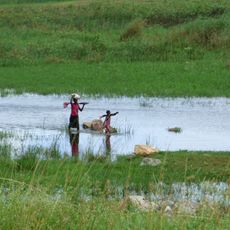
Local communities grow maize, sorghum, and cassava within parts of the park, sharing the land with the wildlife around them. This mixed use shapes how the landscape looks and how people relate to this protected area today.
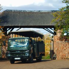
A four-wheel-drive vehicle is needed to get around the park, particularly when the ground is wet and the tracks are soft. The dry season, which runs from April to October, generally makes travel easier and wildlife easier to spot.
Among the fish found in the park's waters is the African lungfish, which can survive when surface water disappears by burrowing into the mud and entering a dormant state. It can stay alive for months with no open water, making it one of the toughest vertebrates on the planet.
The community of curious travelers
AroundUs brings together thousands of curated places, local tips, and hidden gems, enriched daily by 93,919 contributors worldwide.