Makuleke, Protected area in Limpopo, South Africa
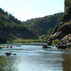
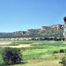
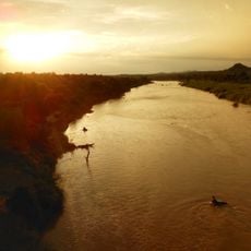
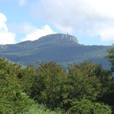
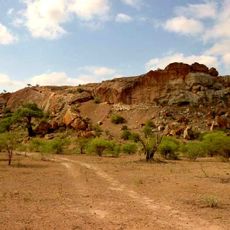
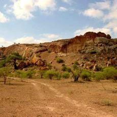
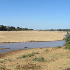
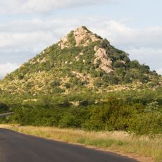
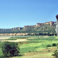
Makuleke Contractual Park, or the Pafuri Triangle, is the northernmost section of Kruger National Park, a wedge of about 240 km2 formed by the confluence of the Limpopo and Luvuvhu Rivers at Crook's Corner. River forest lines the streams, while grass and reed beds cover the floodplain, which holds 31 pans that keep water into the dry winter. Lanner Gorge cuts through Permian and Triassic rocks.
From about 1.5 million years ago, Homo erectus was drawn to the Pafuri Triangle for its river gravels, which held cobbles of non-native rock suitable for toolmaking. These deposits served as quarry sites, and hundreds of thousands of stone tools and manufacturing debris lie across the area. The finely worked hand axes identify the assemblage as Acheulean, a culture that lasted until roughly 250,000 years ago.
Pafuri takes its name from Mphaphuli, the dynastic name of the Venda chiefs who ruled here, and the Luvuvhu River is named after the muvuvhu (rivubye) Combretum tree growing on its banks. The Makuleke community regained ownership of this land and now runs tourism here with park authorities.
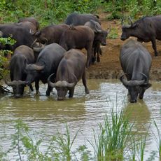
The Pafuri Triangle lies at the confluence of the Limpopo and Luvuvhu Rivers, with Crook's Corner and the Pafuri border post at its eastern tip. The area is reached by gravel roads, and the rivers can flood the floodplain, so check conditions before driving. The 31 pans hold water into the dry winter months, drawing hippo, buffalo and waterbirds.
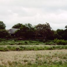
Flood markers at the old TEBA pump house, about a mile south of Crook's Corner, record historic high waters in order of height, from 28 February 1988 up to February 2000, when Cyclone Leon–Eline sent water over the building itself.
The community of curious travelers
AroundUs brings together thousands of curated places, local tips, and hidden gems, enriched daily by 93,256 contributors worldwide.