Enable Location

We need your location to show you interesting places around you

Discover nearby places

Find interesting locations and hidden gems around you

Precise directions

Get accurate directions and distances to places

Your location is never shared with other users. It's only used when you tap the location button.

Hanglip

Log in to your account

Start exploring — it's free

Trusted by 61,999 travelers worldwide

Continue with Google
Continue with Apple
or

We will send you a code to connect

By continuing, you accept our Terms and Conditions and our Privacy Policy

Check your inbox

We've sent a pincode in your inbox. Please enter the code below.

Hanglip

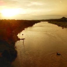
Hanglip, Mountain summit in Vhembe District, Limpopo, South Africa

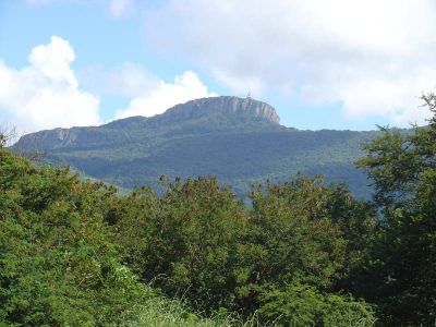
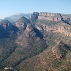
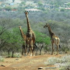
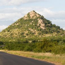
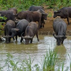
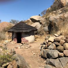
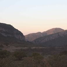
Hanglip is a mountain summit in the Soutpansberg range reaching 1,719 meters, with natural forests mixed alongside commercial pine plantations covering the slopes. The terrain features multiple trails and facilities including a mountain hut and picnic areas for visitors.

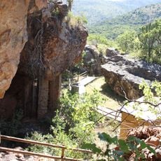
Fort Botha was built near the summit during territorial conflicts, with its remains now situated beside sacred burial sites of historic communities. This combination of colonial and indigenous heritage marks the mountain's complex past.

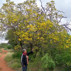
The mountain holds deep significance for local communities, particularly the vhaDzanani people, who recognize it through names that reflect their relationship with the landscape. This cultural connection remains visible through the burial sites and oral traditions that visitors encounter when exploring the area.

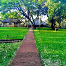
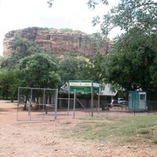
The peak is accessed by foot along established trails, with a mountain hut to the east offering overnight stays and a picnic area on the southern slope for day visits. Weather changes quickly at this elevation, so visitors should prepare for varied conditions during their visit.

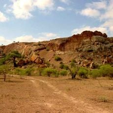
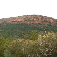
The summit houses a radar station and contains tilted rock layers with glacial deposits and volcanic stone intrusions that define the mountain's geological character. These features make it particularly interesting for visitors curious about earth science.

The community of curious travelers

AroundUs brings together thousands of curated places, local tips, and hidden gems, enriched daily by 60,000 contributors worldwide.

Start exploring
GPS coordinates
-22.99625,29.88314
Latest update
December 12, 2025 14:25
« Hanglip - Mountain summit in Vhembe District, Limpopo, South Africa » is provided by Around Us (aroundus.com). Images and texts are derived from Wikimedia project under a Creative Commons license. You are allowed to copy, distribute, and modify copies of this page, under the conditions set by the license, as long as this note is clearly visible.

Discover hidden gems everywhere you go!

From secret cafés to breathtaking viewpoints, skip the crowded tourist spots and find places that match your style. Our app makes it easy with voice search, smart filtering, route optimization, and insider tips from travelers worldwide. Download now for the complete mobile experience.

Around Us App Screenshot

A unique approach to discovering new places

Le Figaro

All the places worth exploring

France Info

A tailor-made excursion in just a few clicks

20 Minutes

Around Us
Travel Guide & Maps
Download

Send to your phone

QR Code
1

Open the camera app on your mobile.

2

Point at the QR code with your camera. A notification will appear.

3

Tap the notification to open the link.